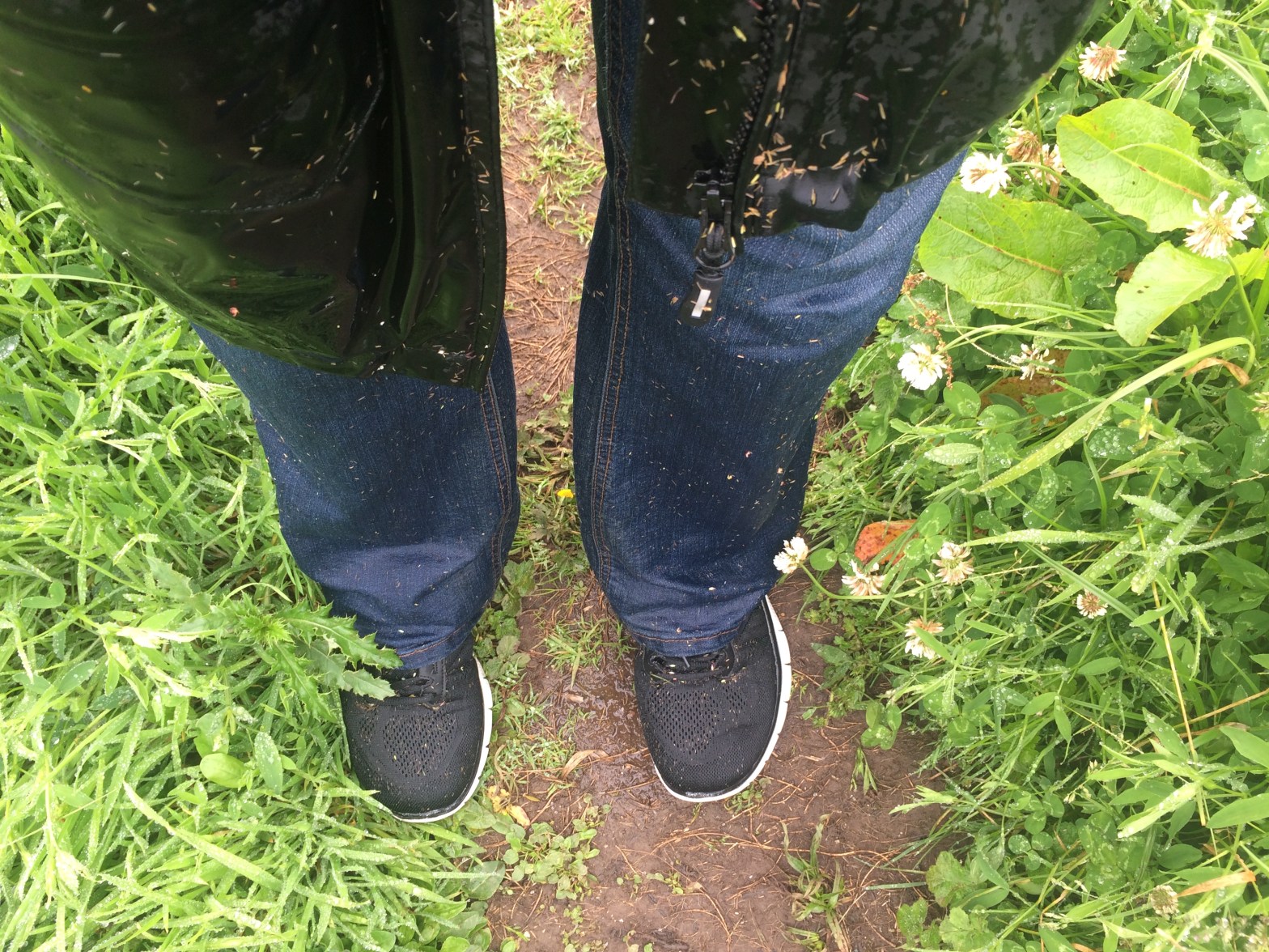
Setting off from Boarhills there is a lot of long grass – very wet grass! As you can see my jeans and shoes were soaked – and that was only after 10 minutes! It had turned into a nice warm day though so I wasn’t worried. I knew I’d dry out once I was out of the grass.
I started where I had left off the night before. It’s easy to miss the sign as you are on a track around a farm and you can easily just keep in walking round the track if you’re not paying attention:
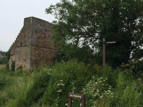
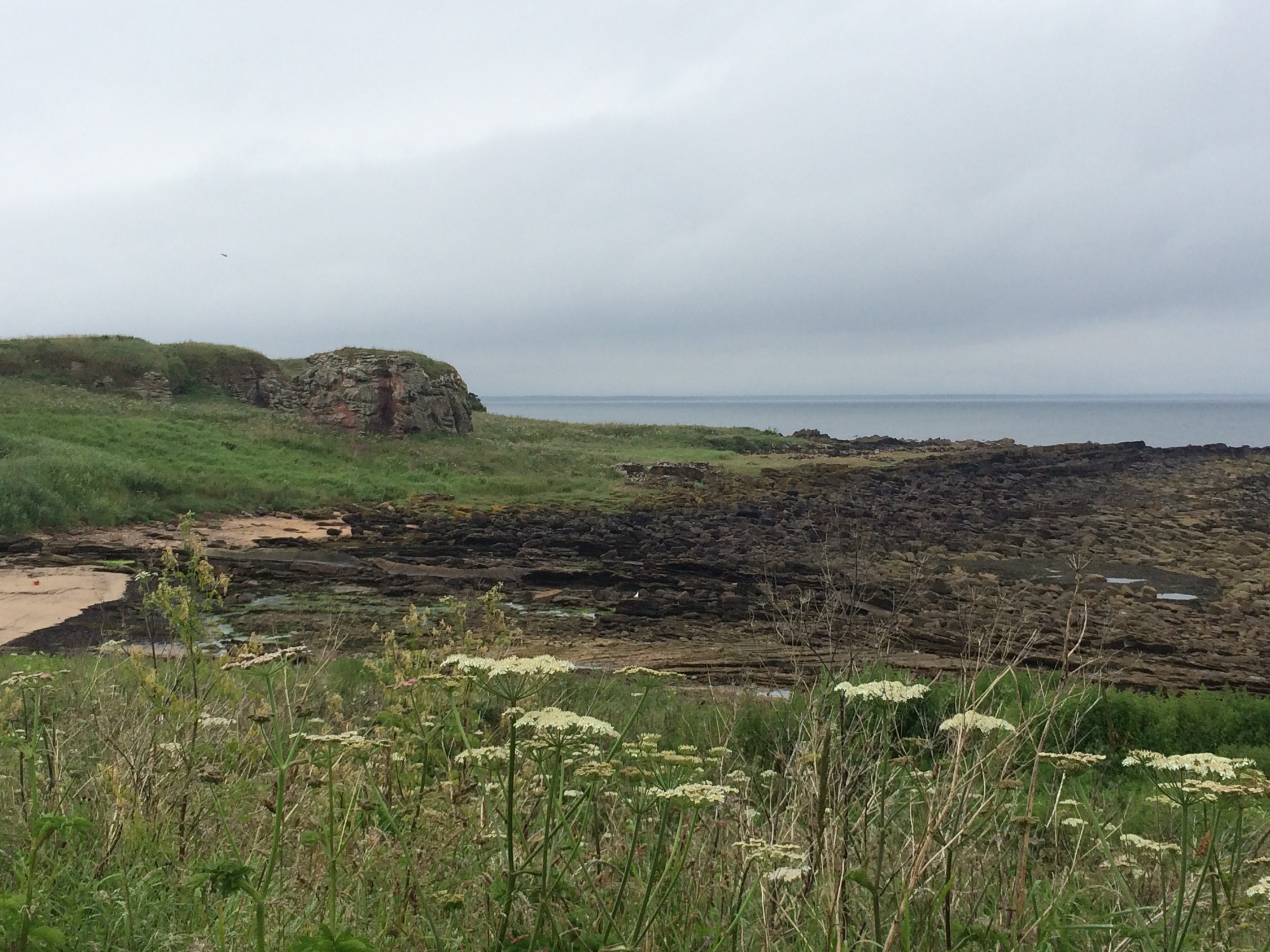
So, at this ruin you have to come of the track, turning right across the fields (this is where you start getting wet knees:-) ) and down to the coast:
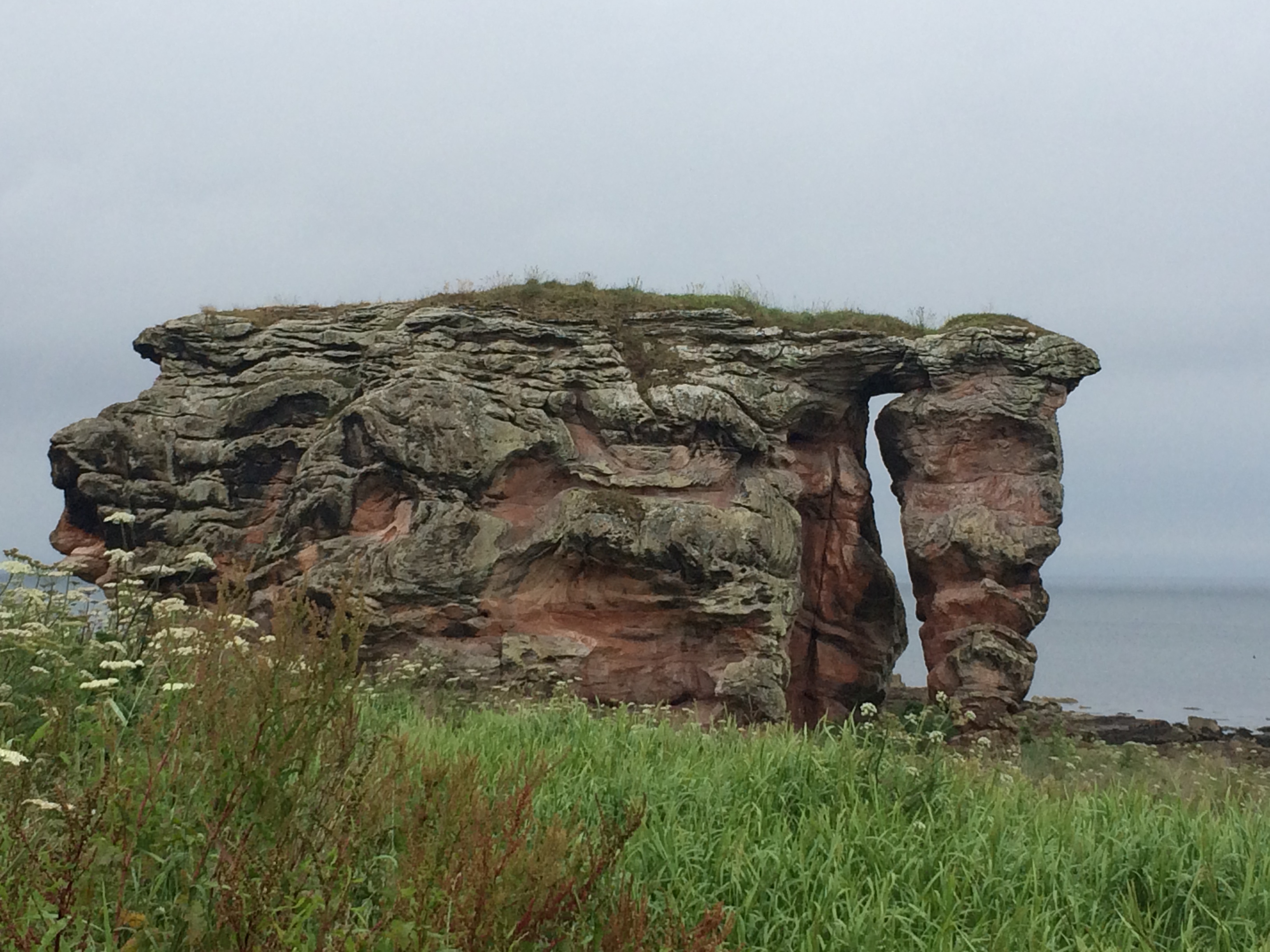
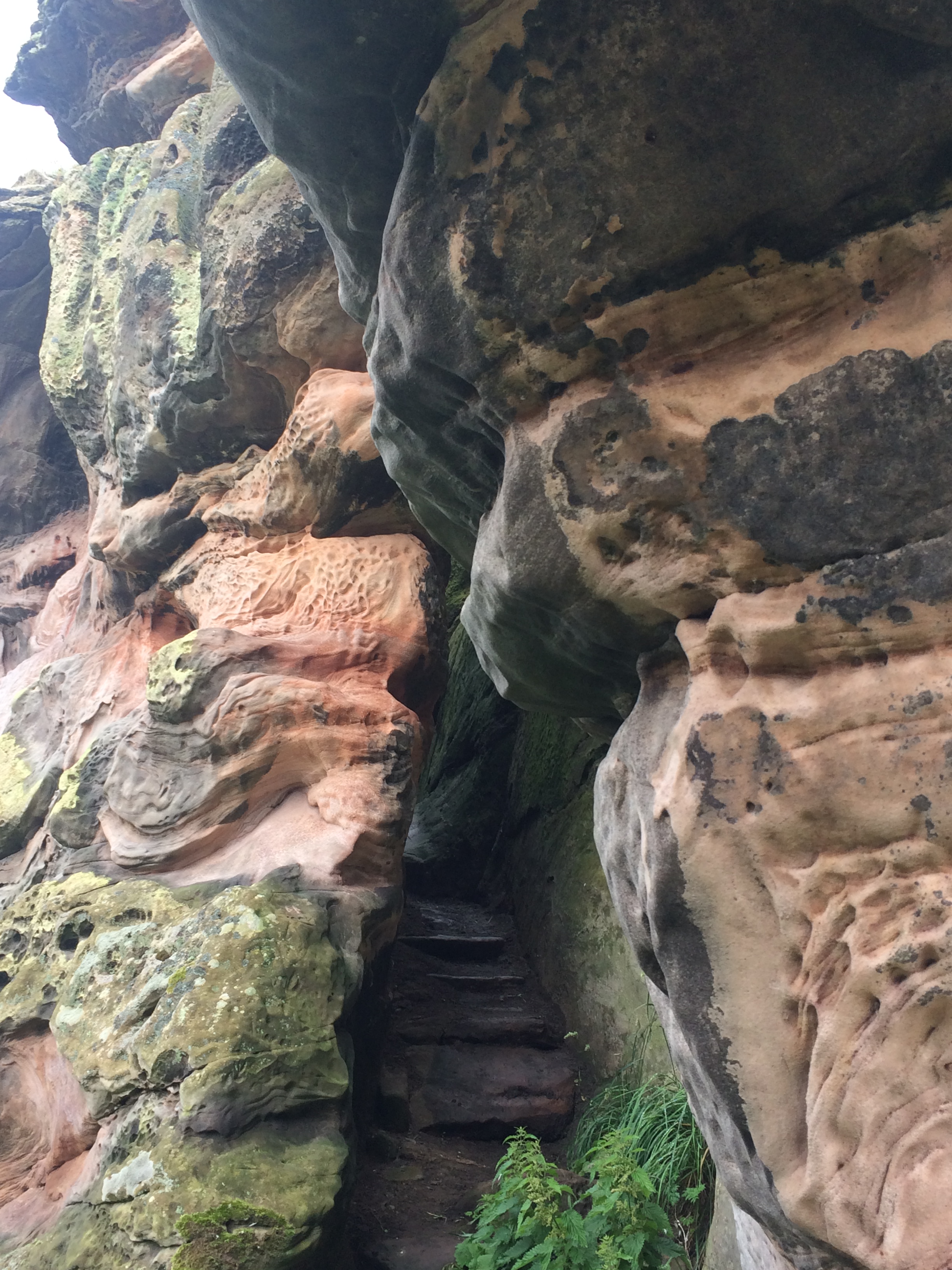
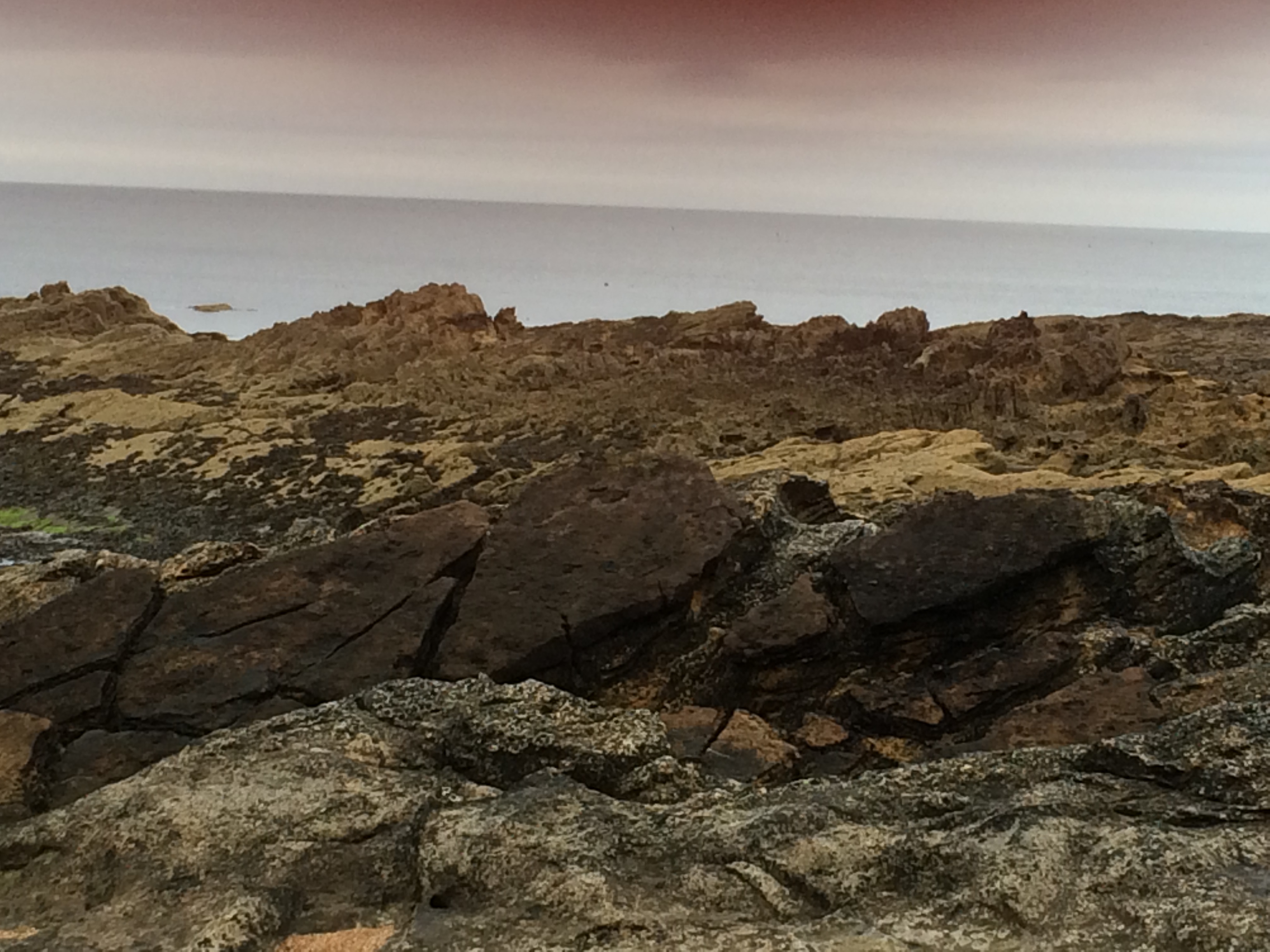
It’s not long until you reach the impressive Buddo Rock. It’s really massive with a strange wrinkled surface and what looks like a stairway inside. Quite a site to behold!
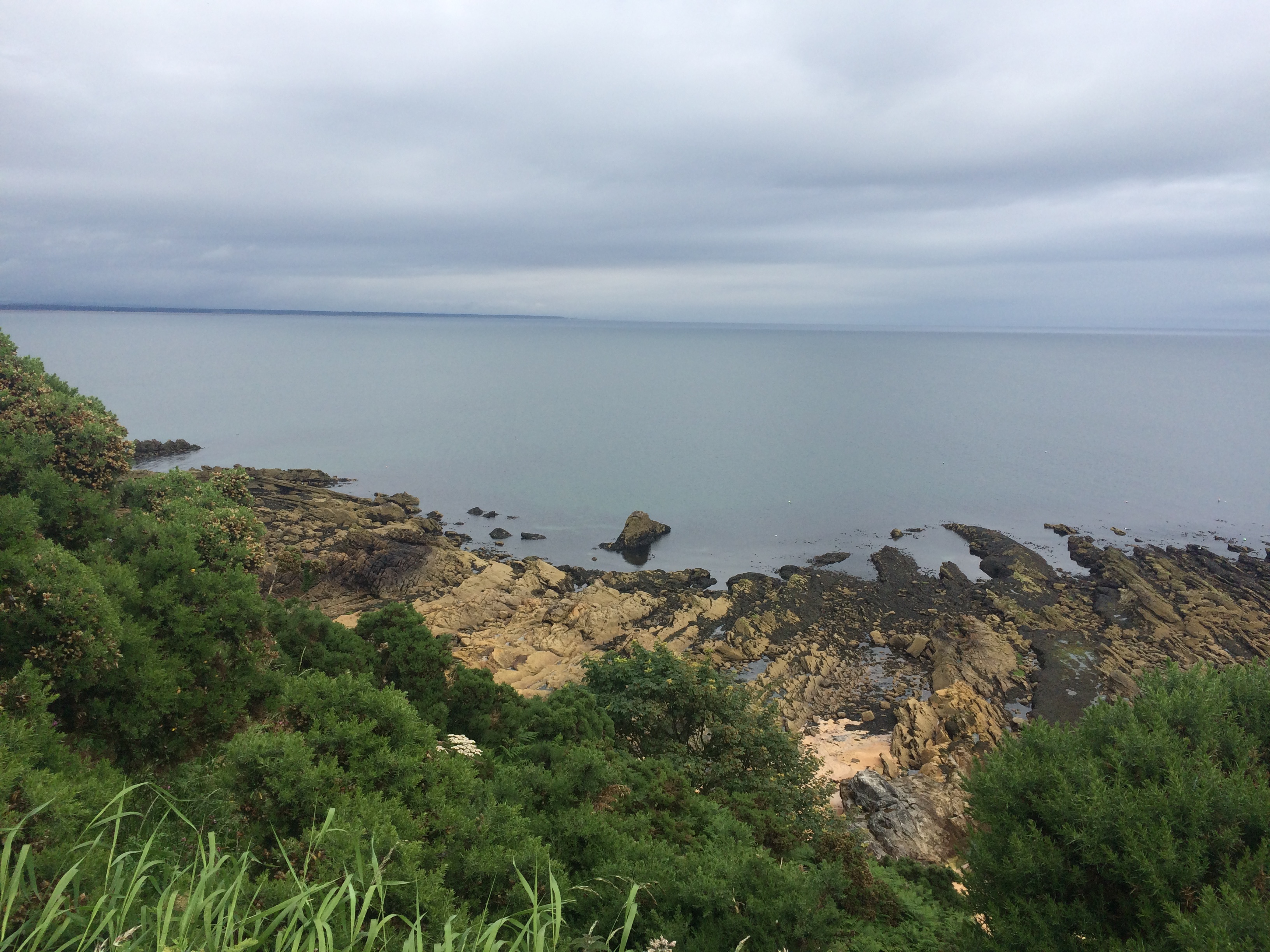
After this rock the path seems to disappear again so it’s very easy to lose your footing – be careful!
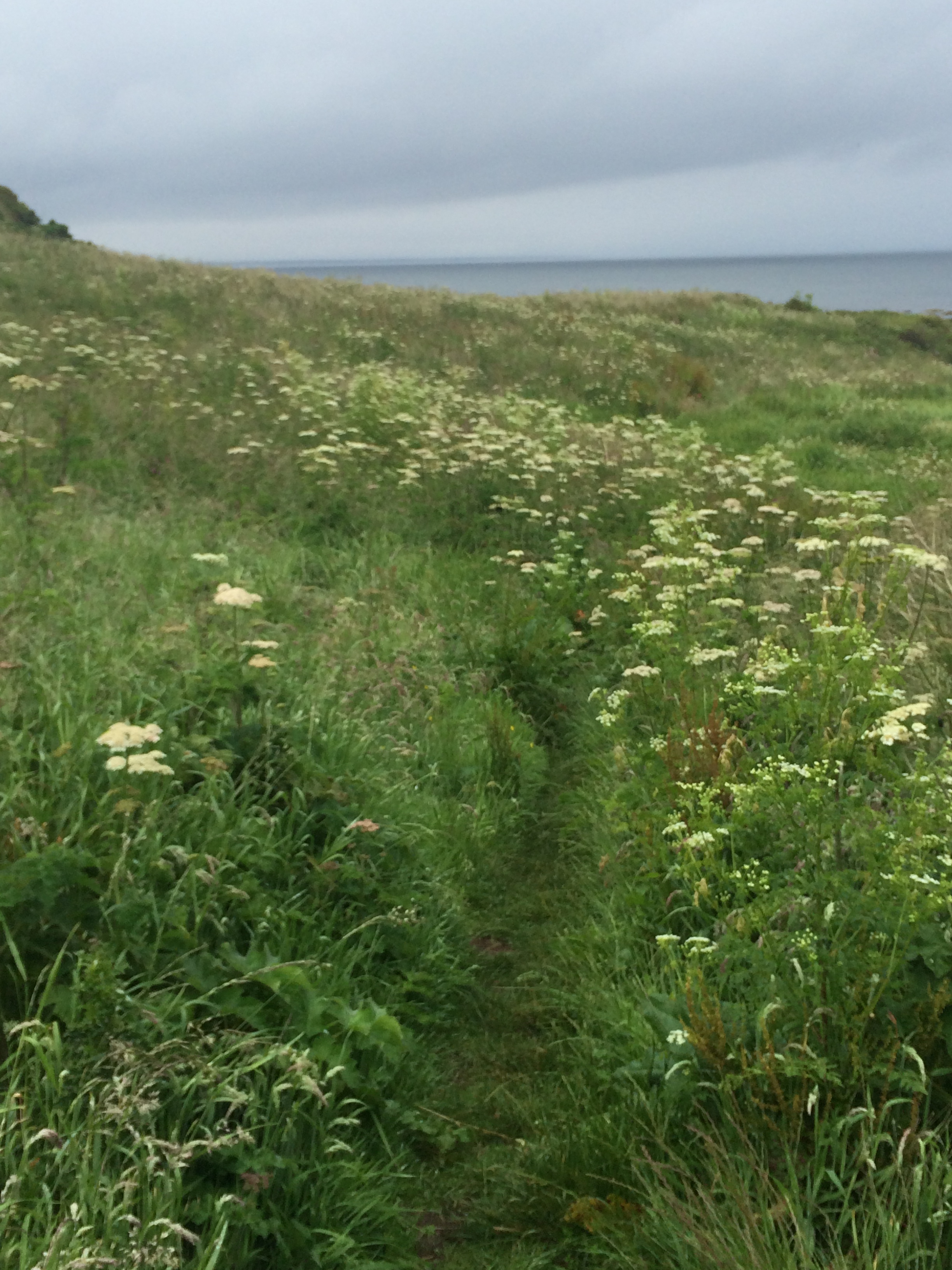
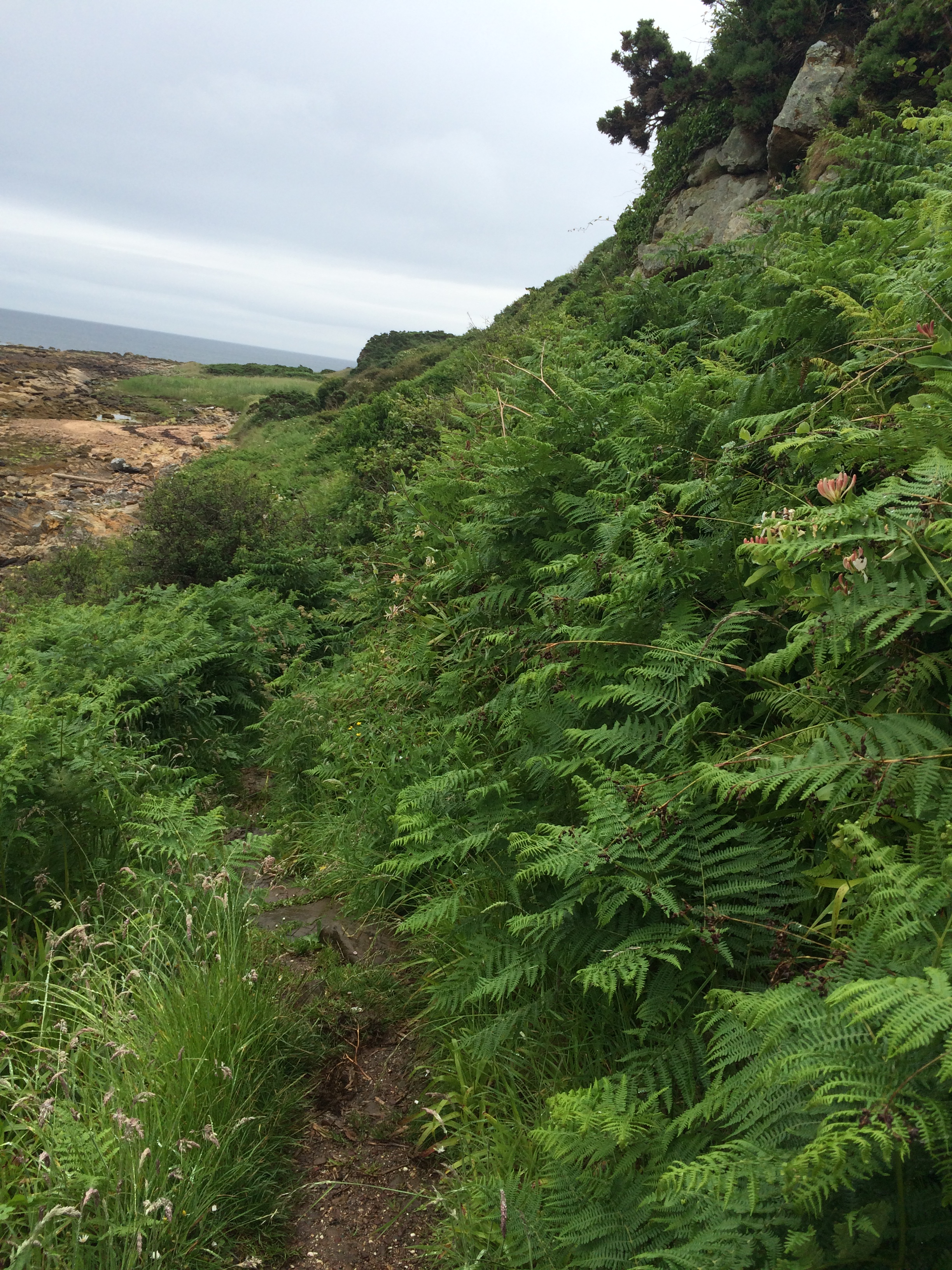
The path is also going up,
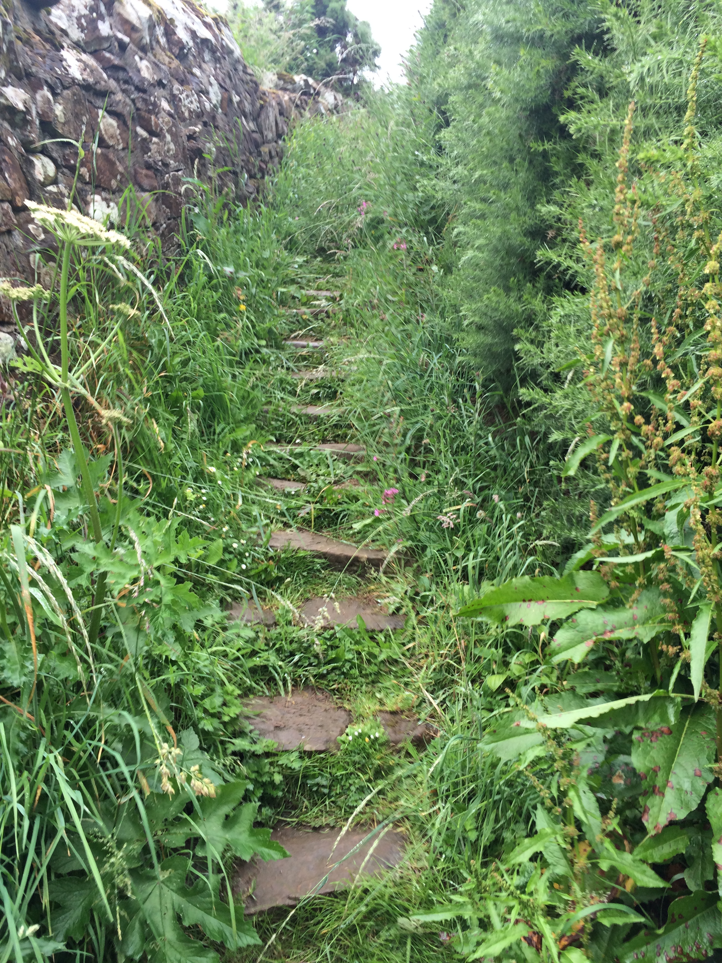
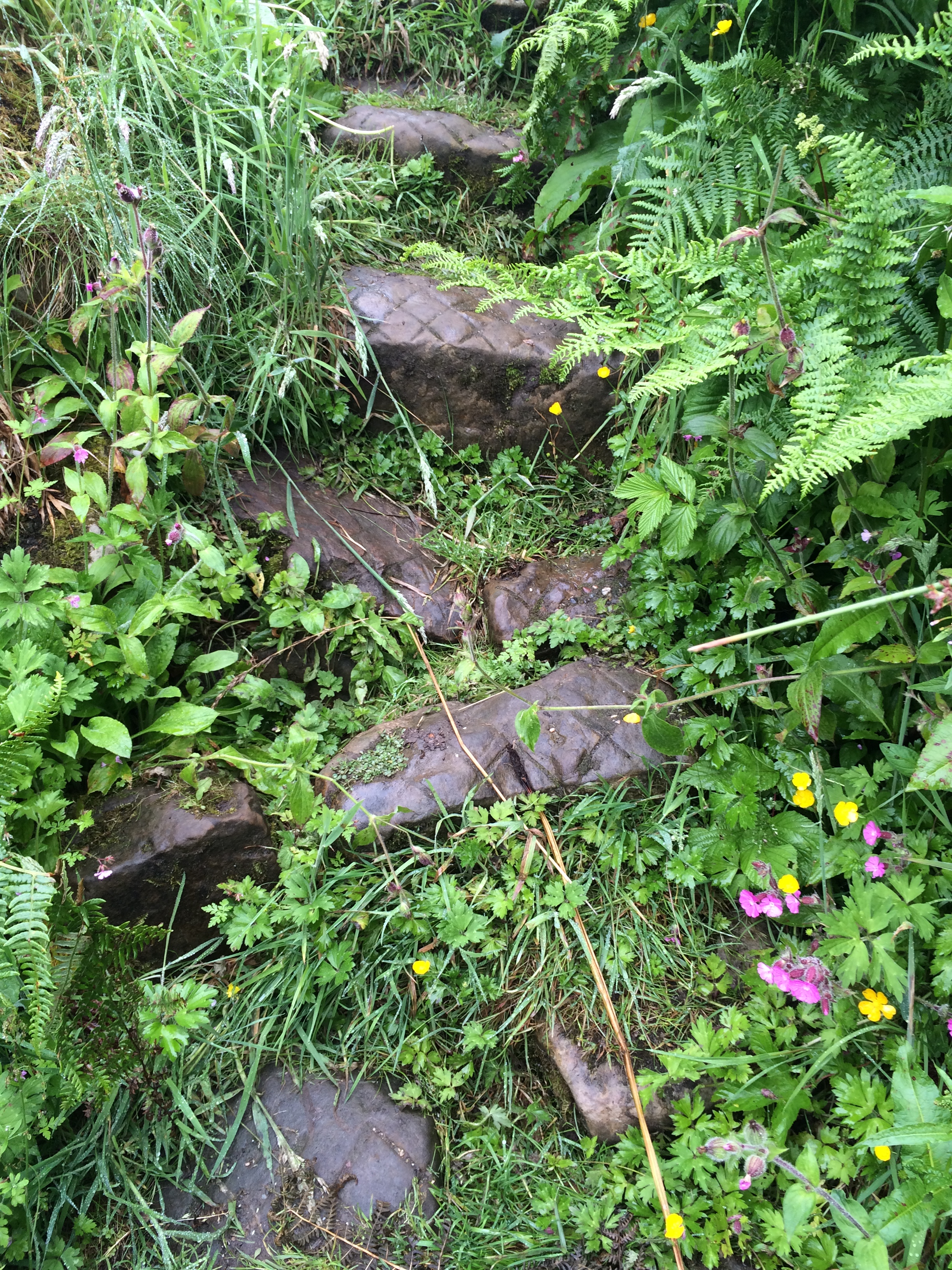
and down (these steps were really slippy!),
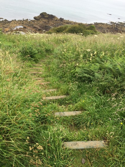
and up again!
But when I reached the top it was nice to see some humans on the path coming in the opposite direction:
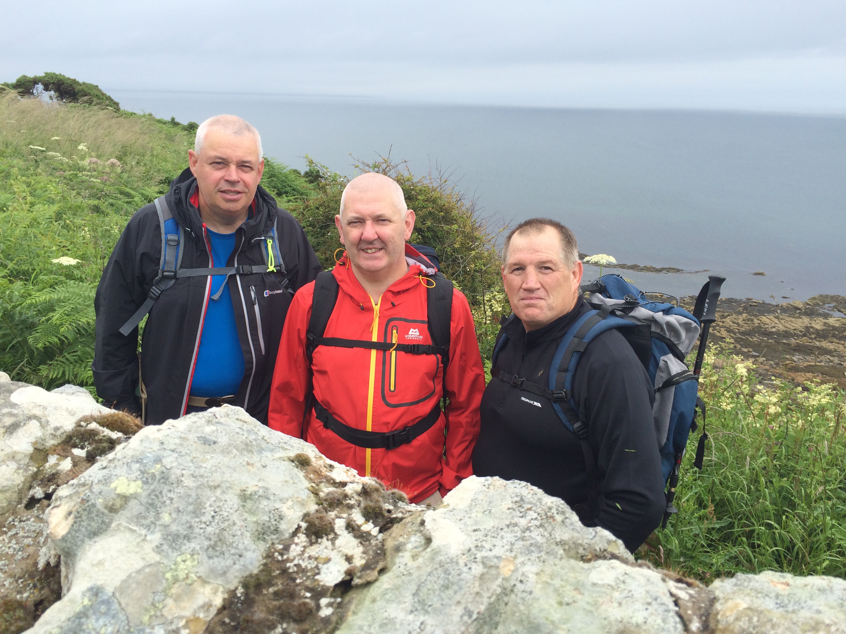
This is (from left to right) Peter, Roddy and Jake. They were out for a days walking from St. Andrews to Kingbarns. They had intended going up a hill but with the weather not so good they decided to walk the coastal path instead. They were saying that it was difficult to find the signs and they’d missed one so and had a bit of an extra trek. Tell me about it!:-)
It was really nice to speak to them. To hear about the difficulties they’d had and how they got round them. I’d definitely recommend walking in a group rather than on your own.
Anyway, on I went over the wall (cute little ladder:-) )
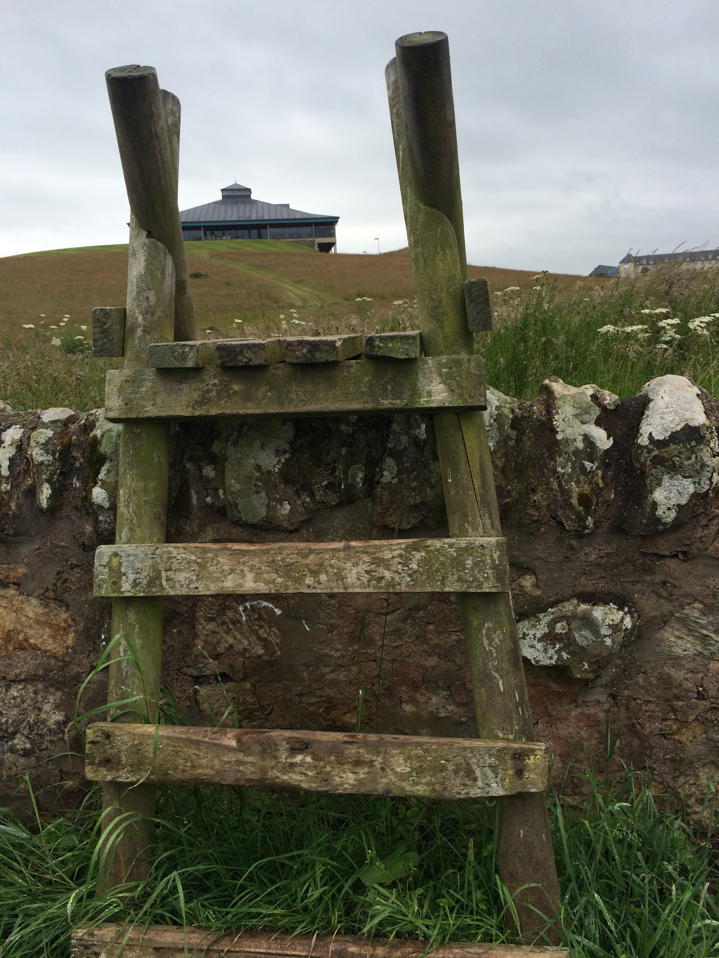
and back down to the beach.
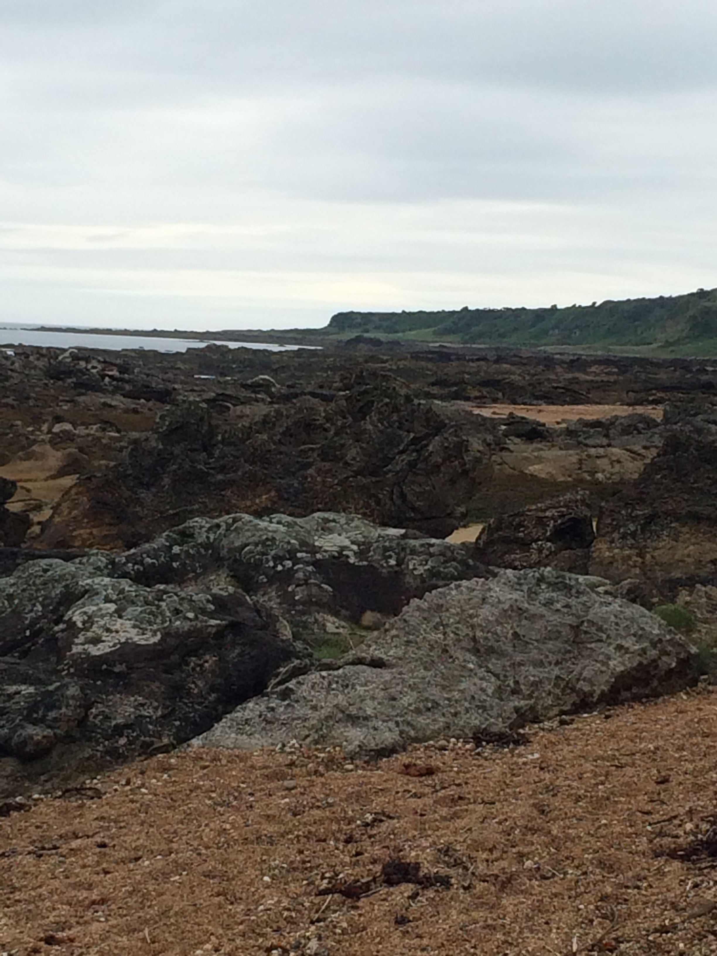
I had now got to the point that I was worried about from the night before:
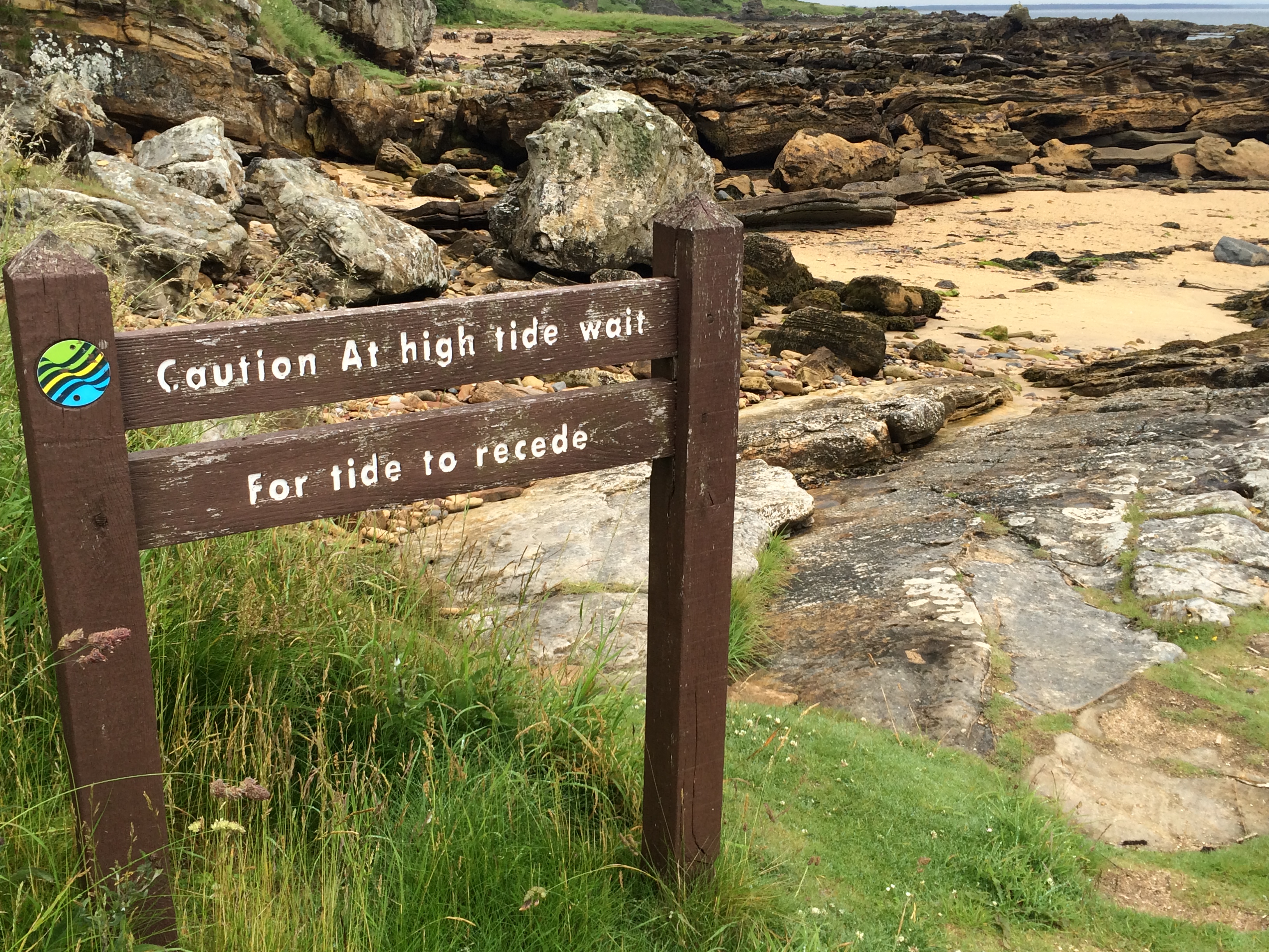
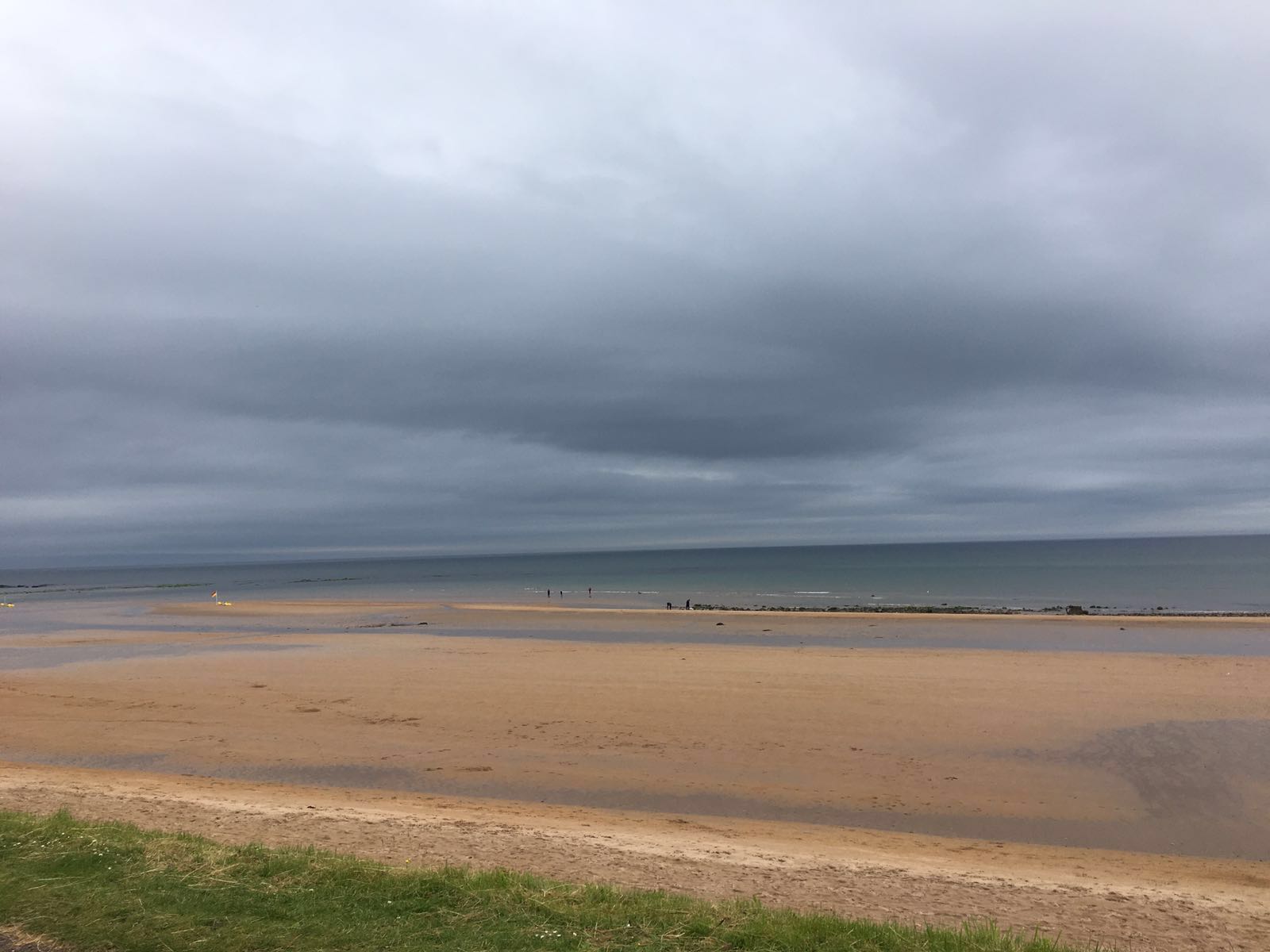
and I was so glad I hadn’t attempted to pass it at high tide. It’s basically rocks that you have to climb across and since they were all pooled with sea water I guess it’d be completely impassable at high tide.
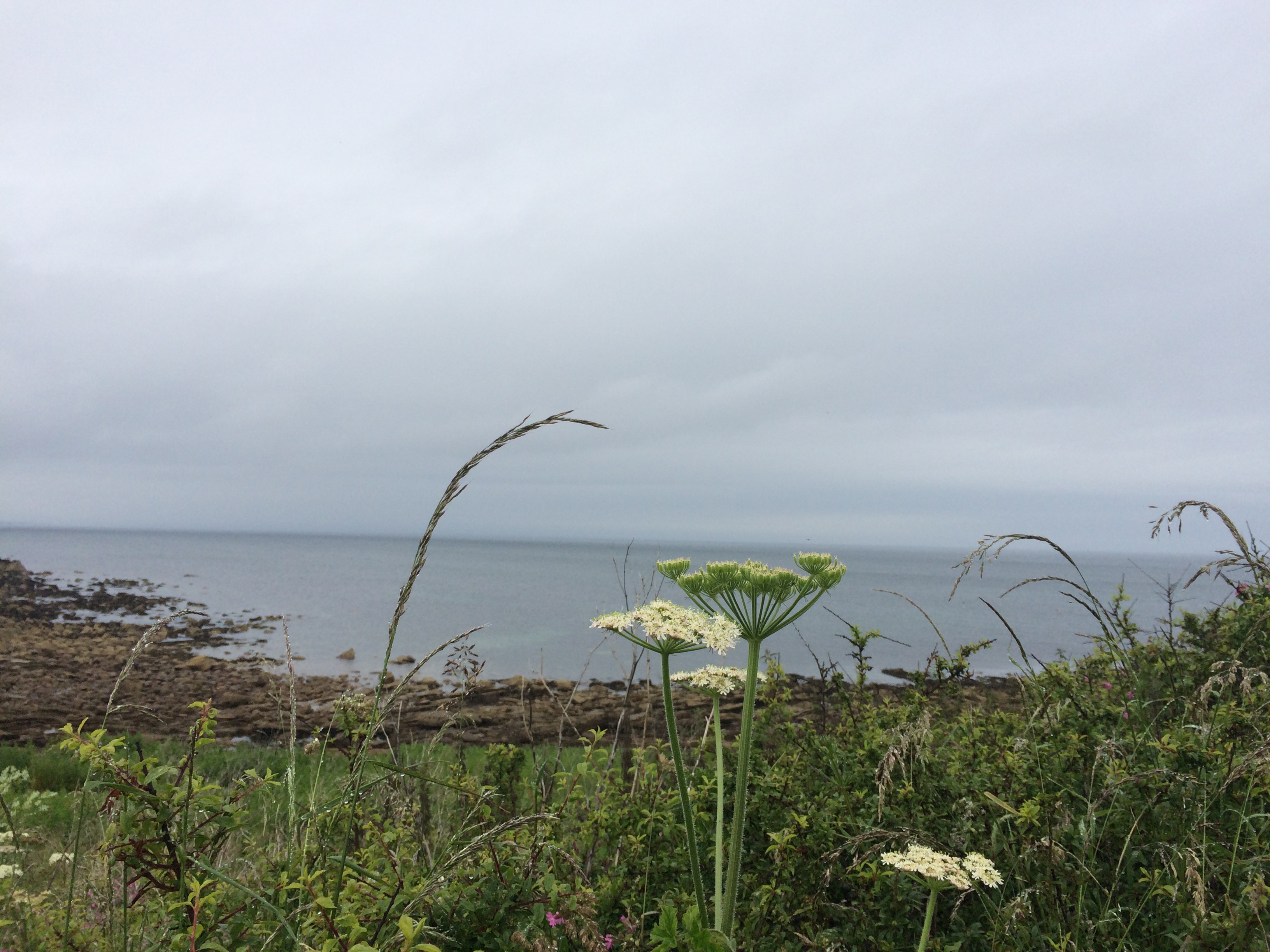
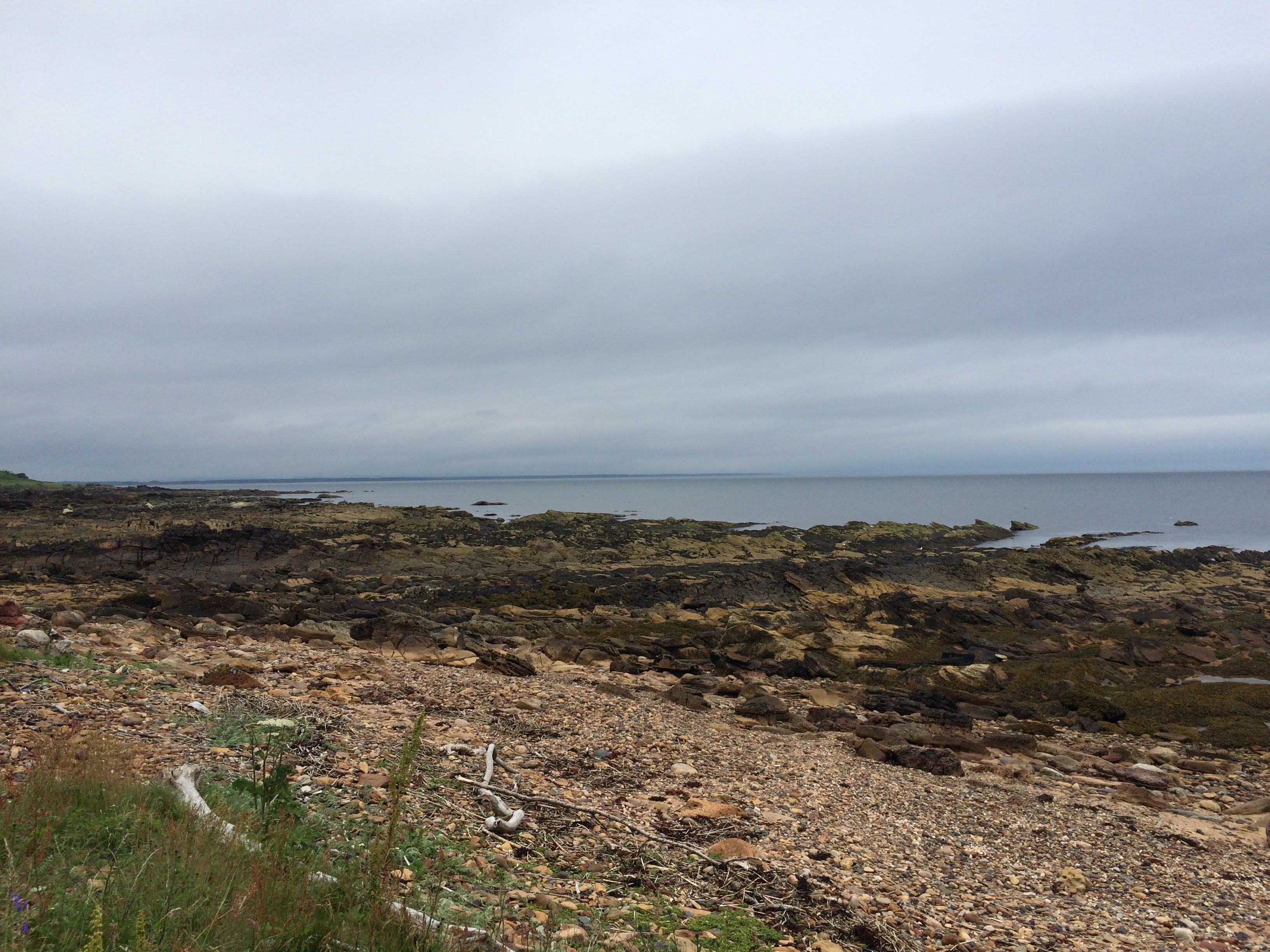
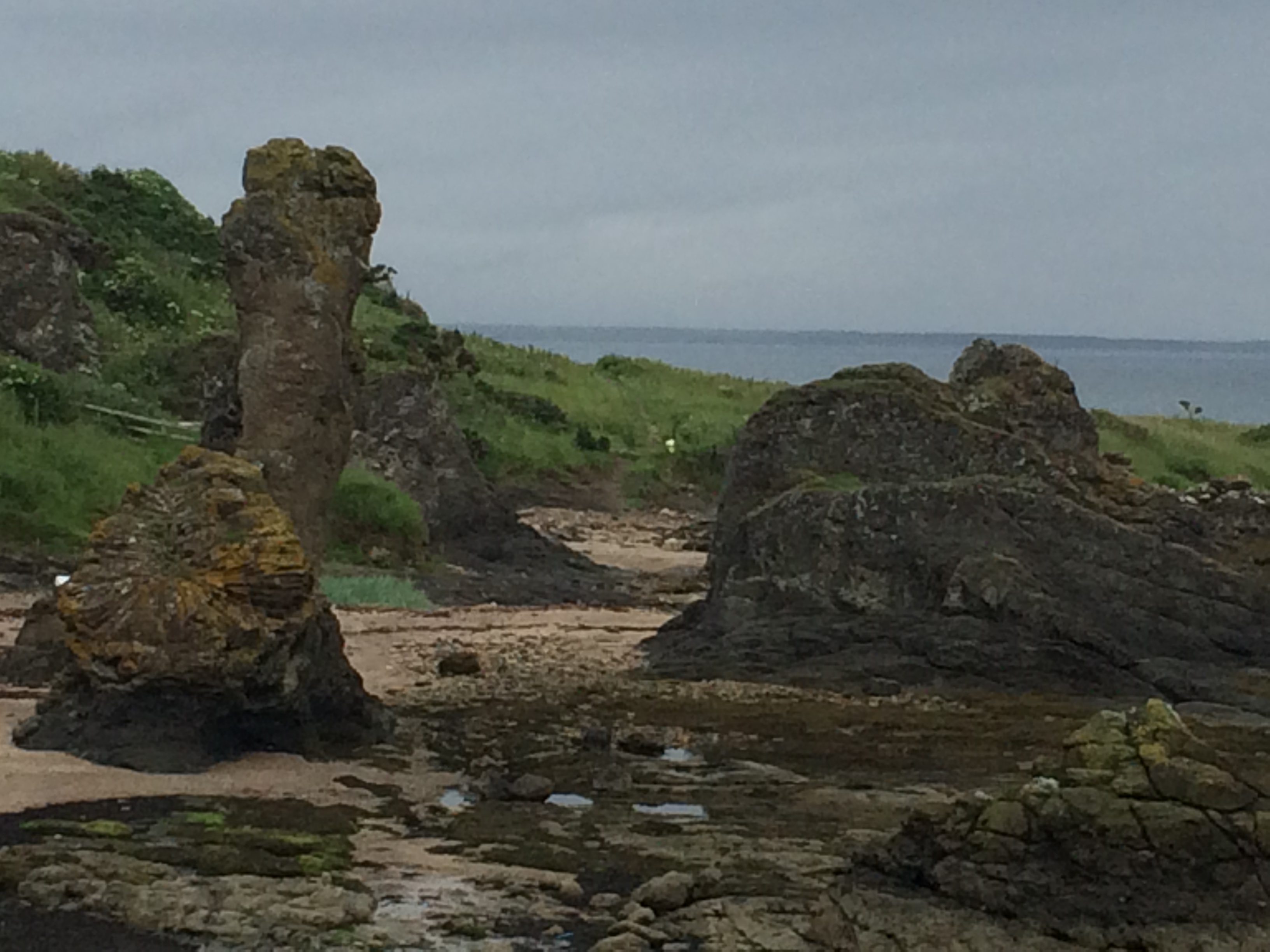
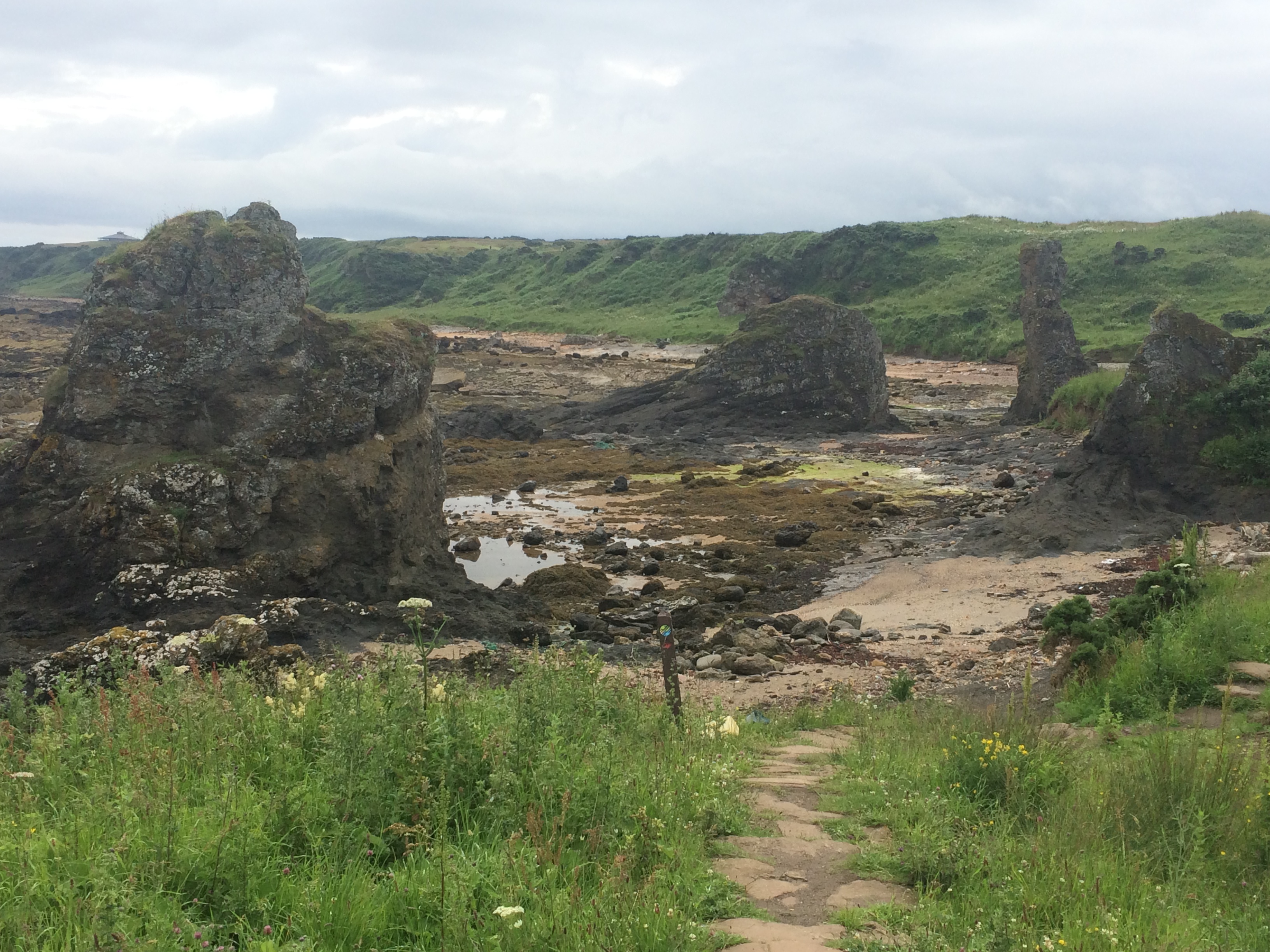
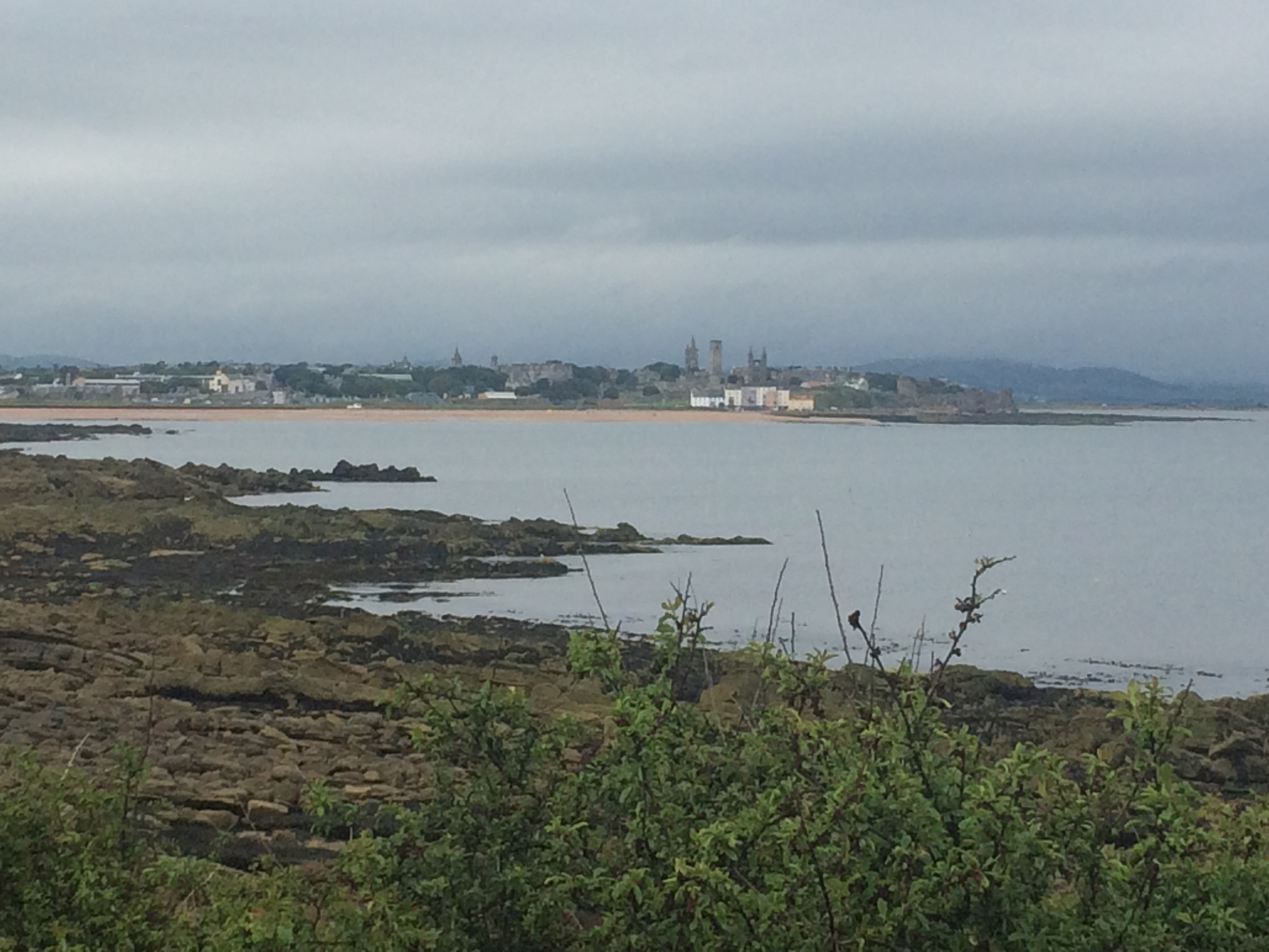
After climbing these I passed by Kinkell Ness with it’s rock and spindle,
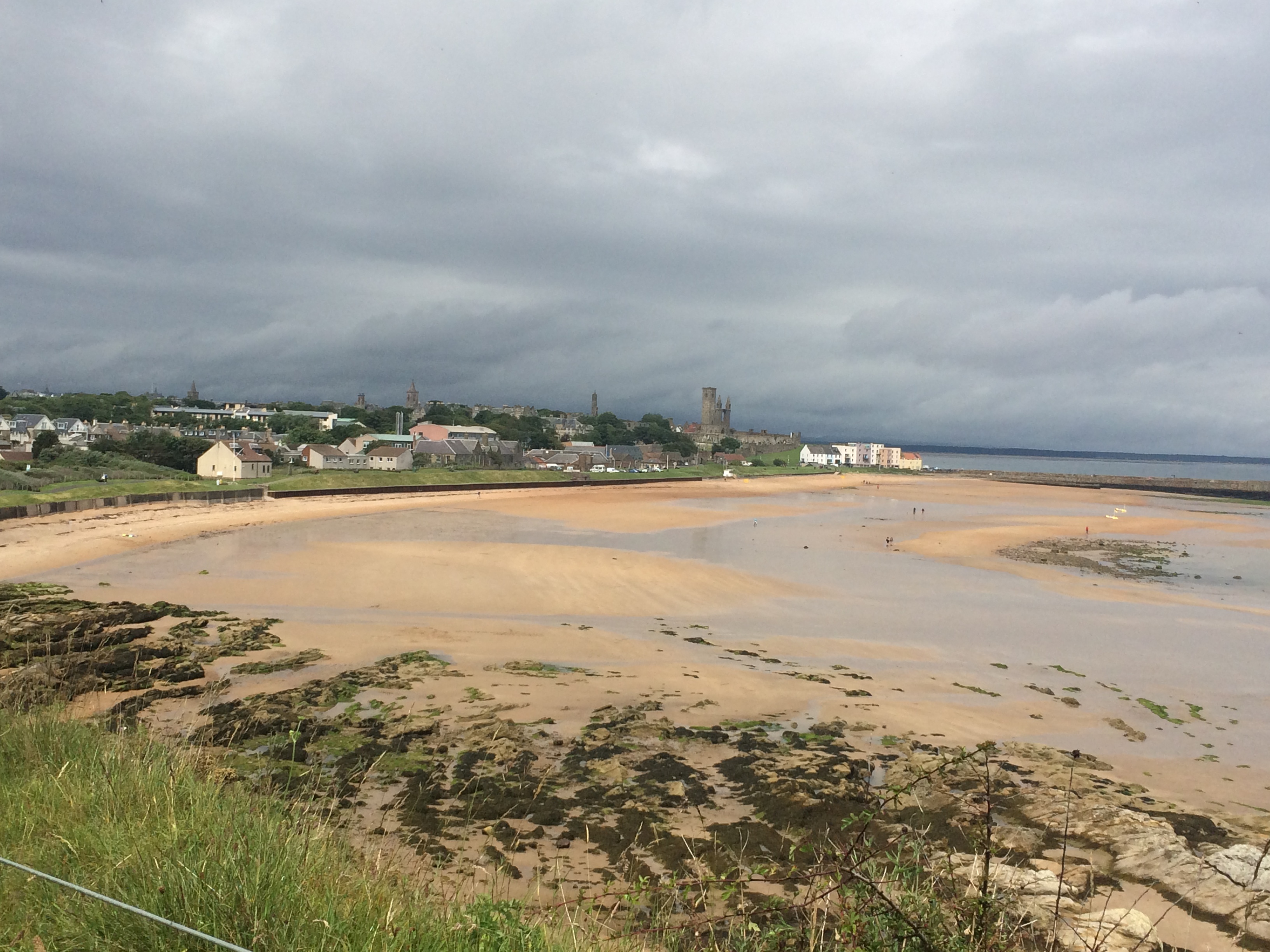
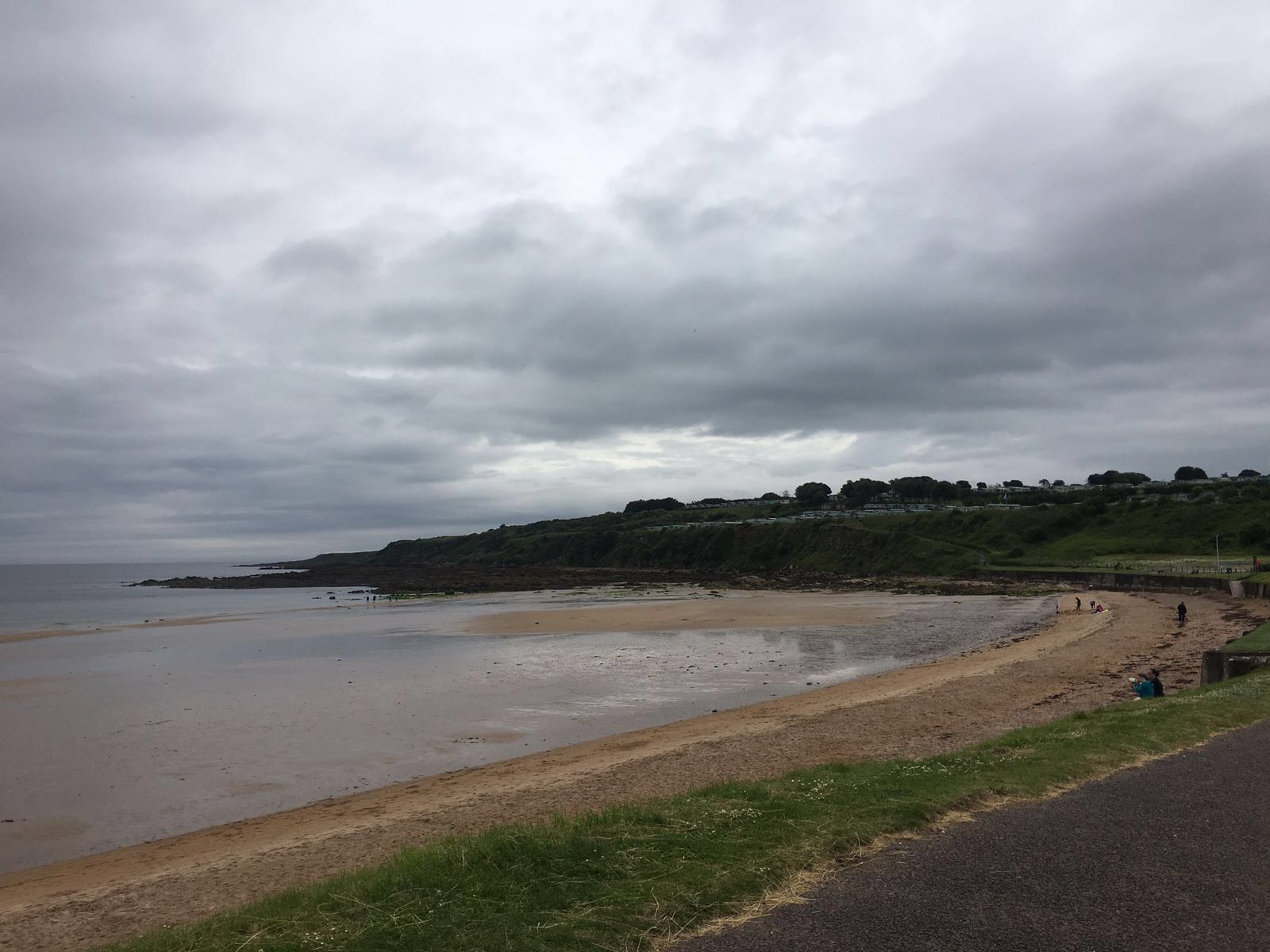
and was soon being presented with magnificent views of St. Andrews.
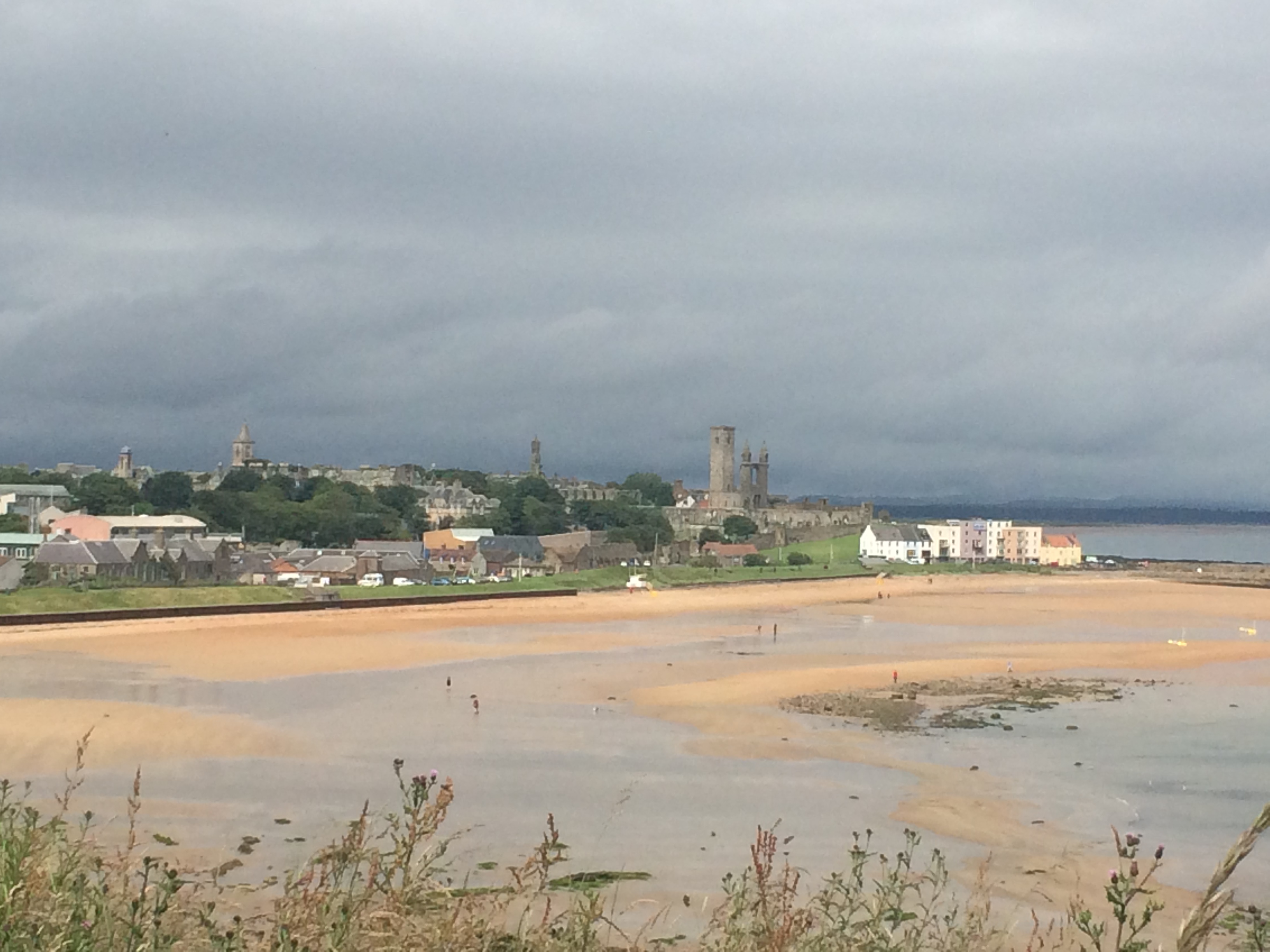
At St. Andrews I got a brilliant surprise!
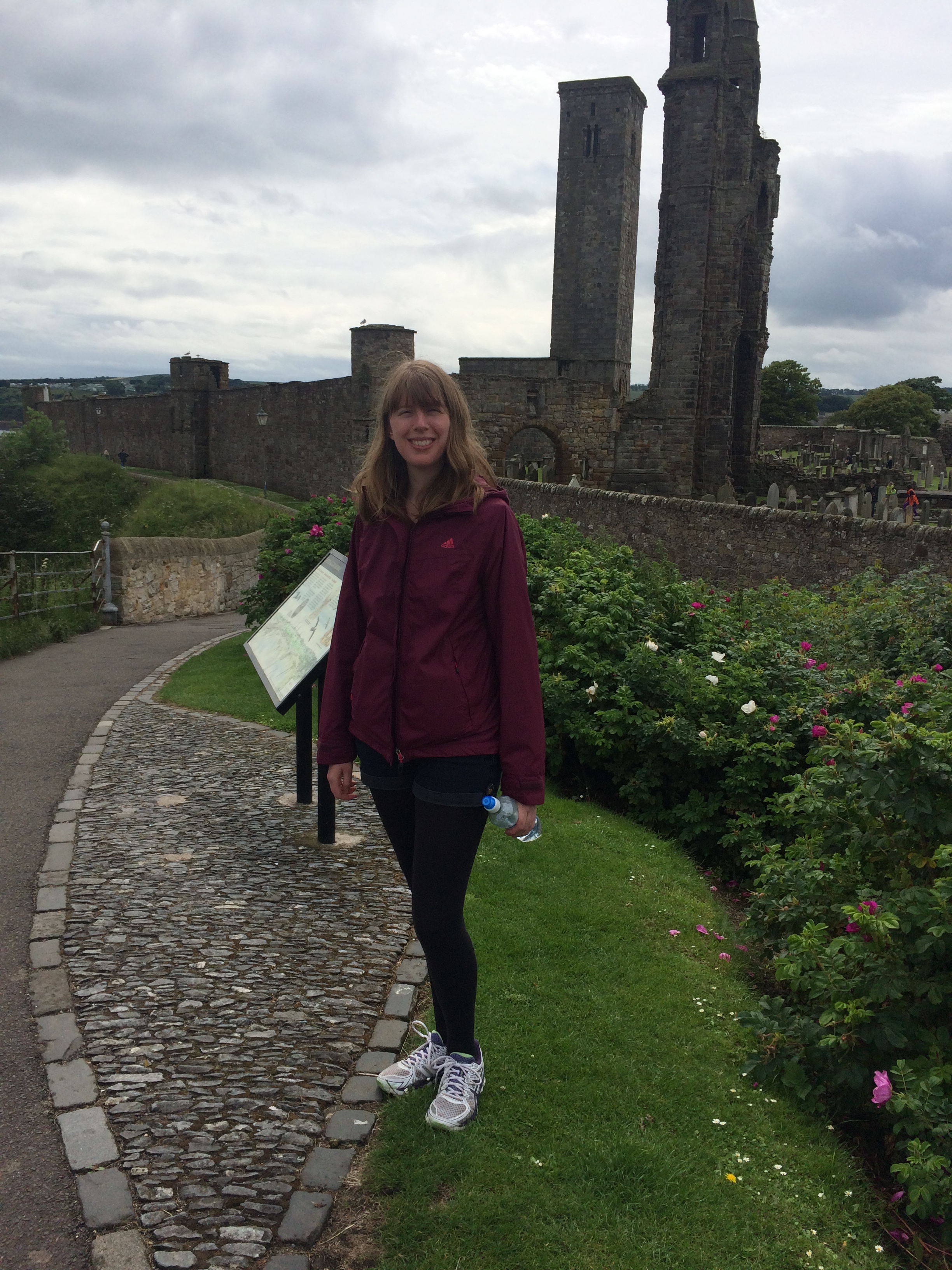
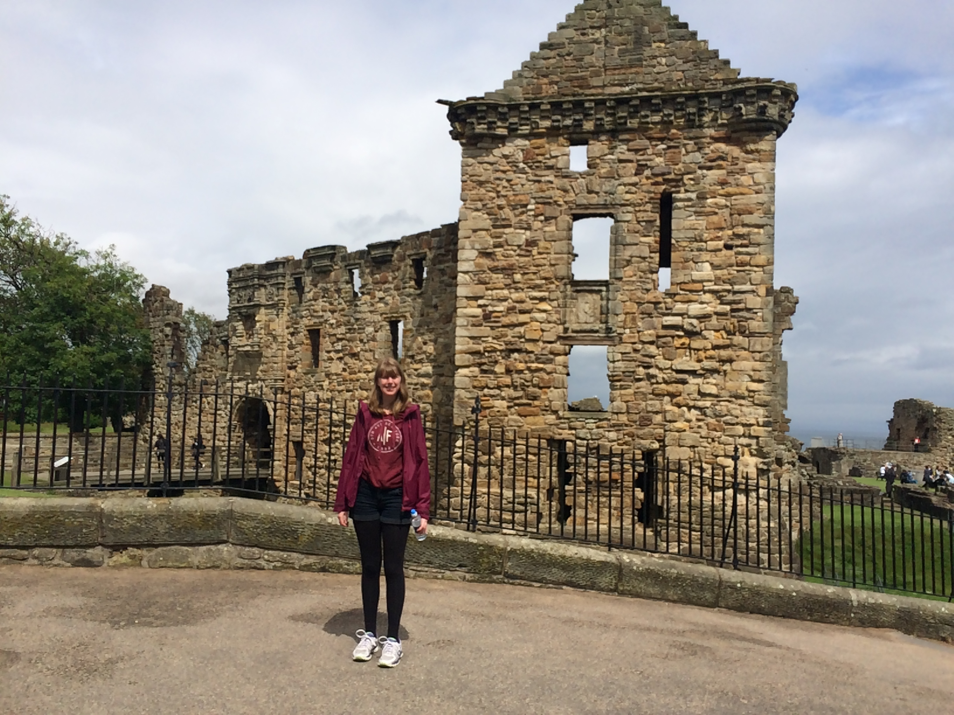
My daughter Lisa had come to meet me and walk with me for the day! It was a lovely surprise and made the rest of the day feel like a holiday – thanks Lisa (she took a brilliant video of me when she jumped out on me but this version of wordpress won’t allow video – aww shame)!
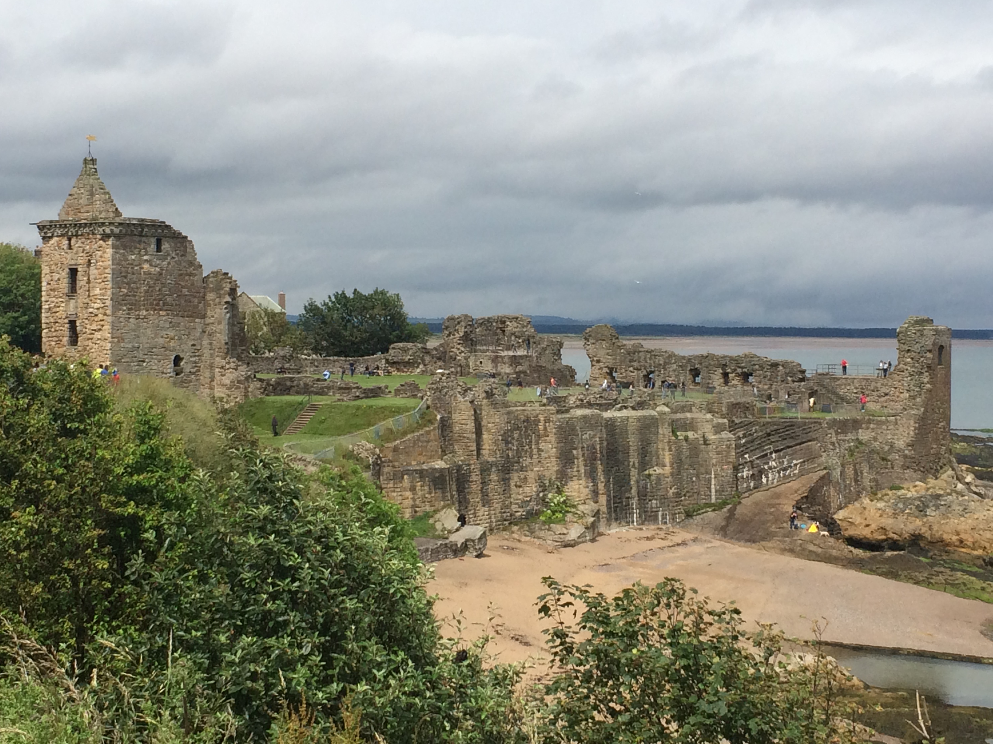
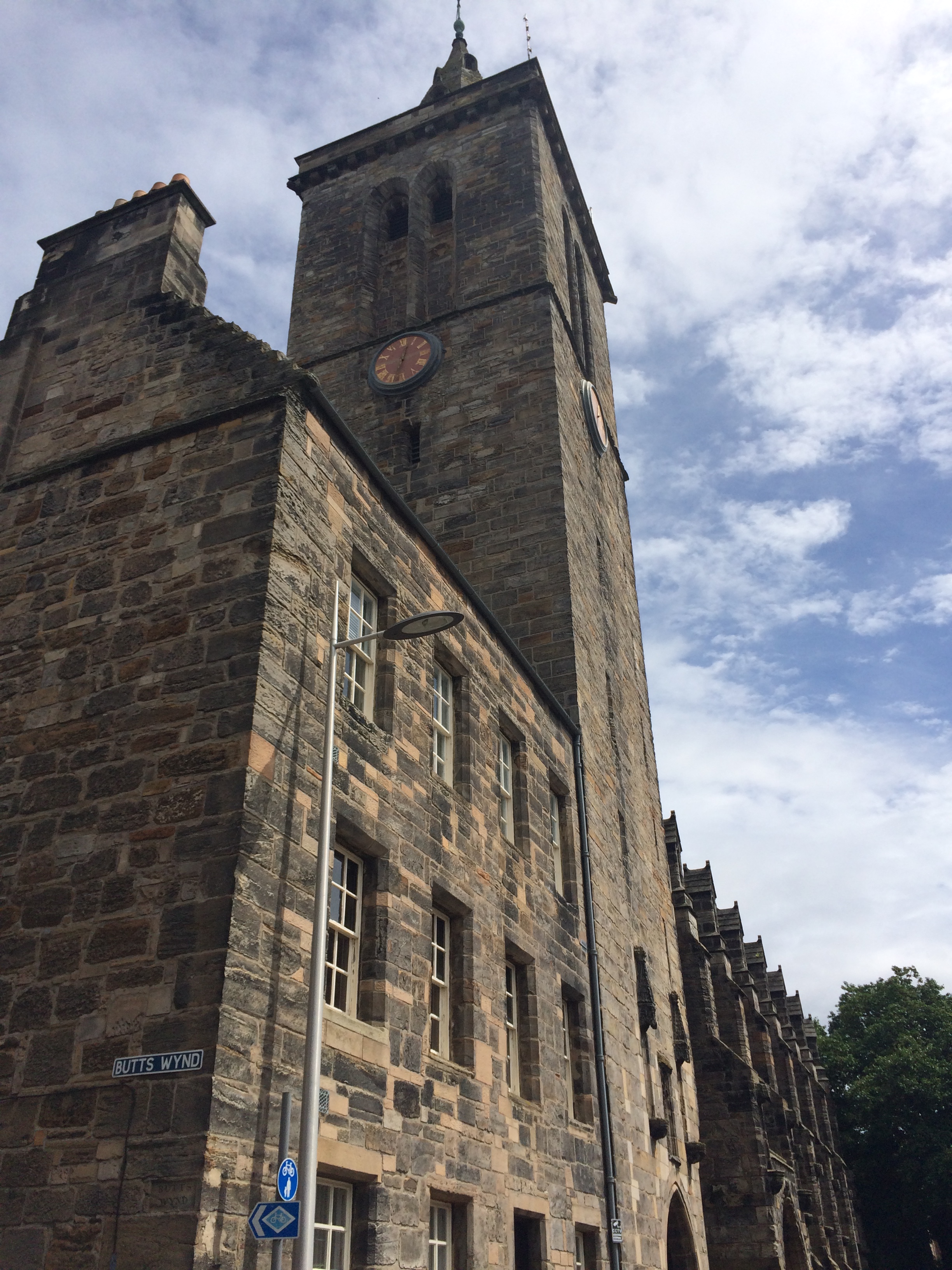
St Andrews is a lovely town with lots of historical buildings, places to eat and drink,
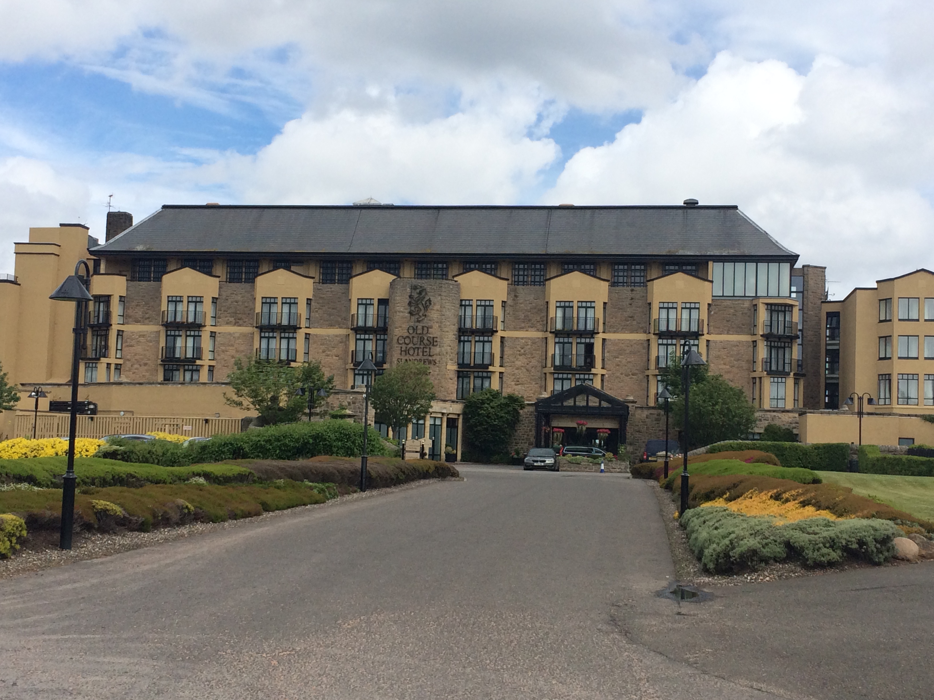
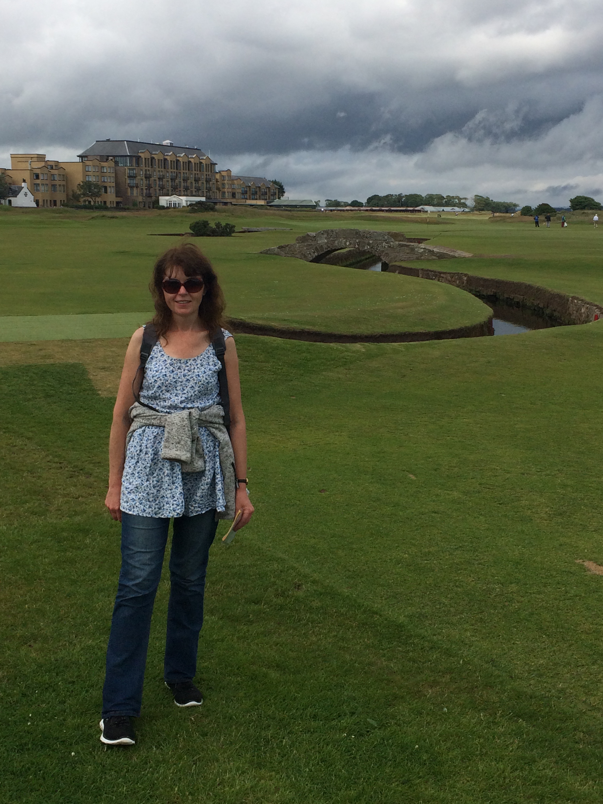
and of course its famous golf course.
(apparently this bridge on the course is very famous)
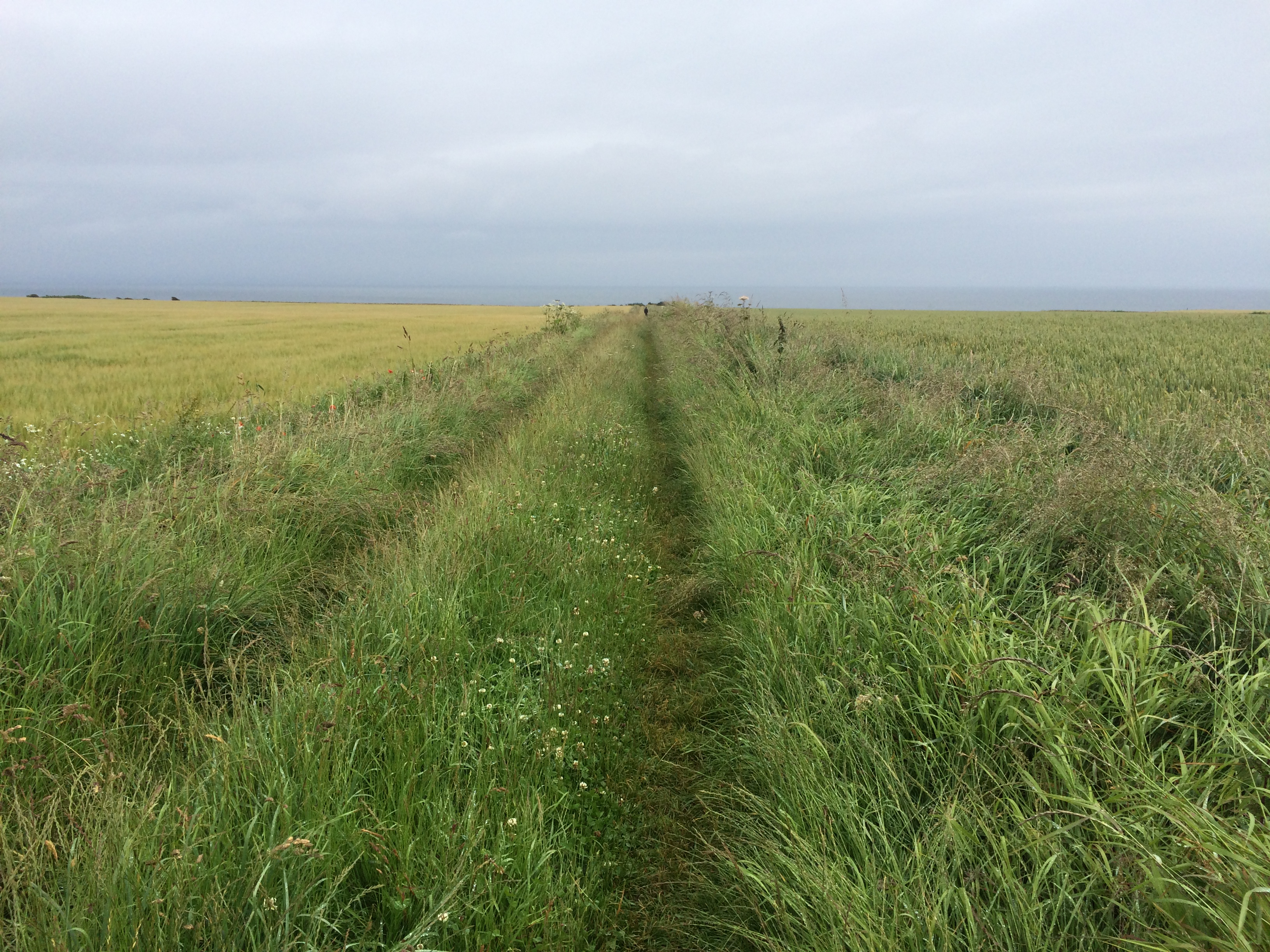
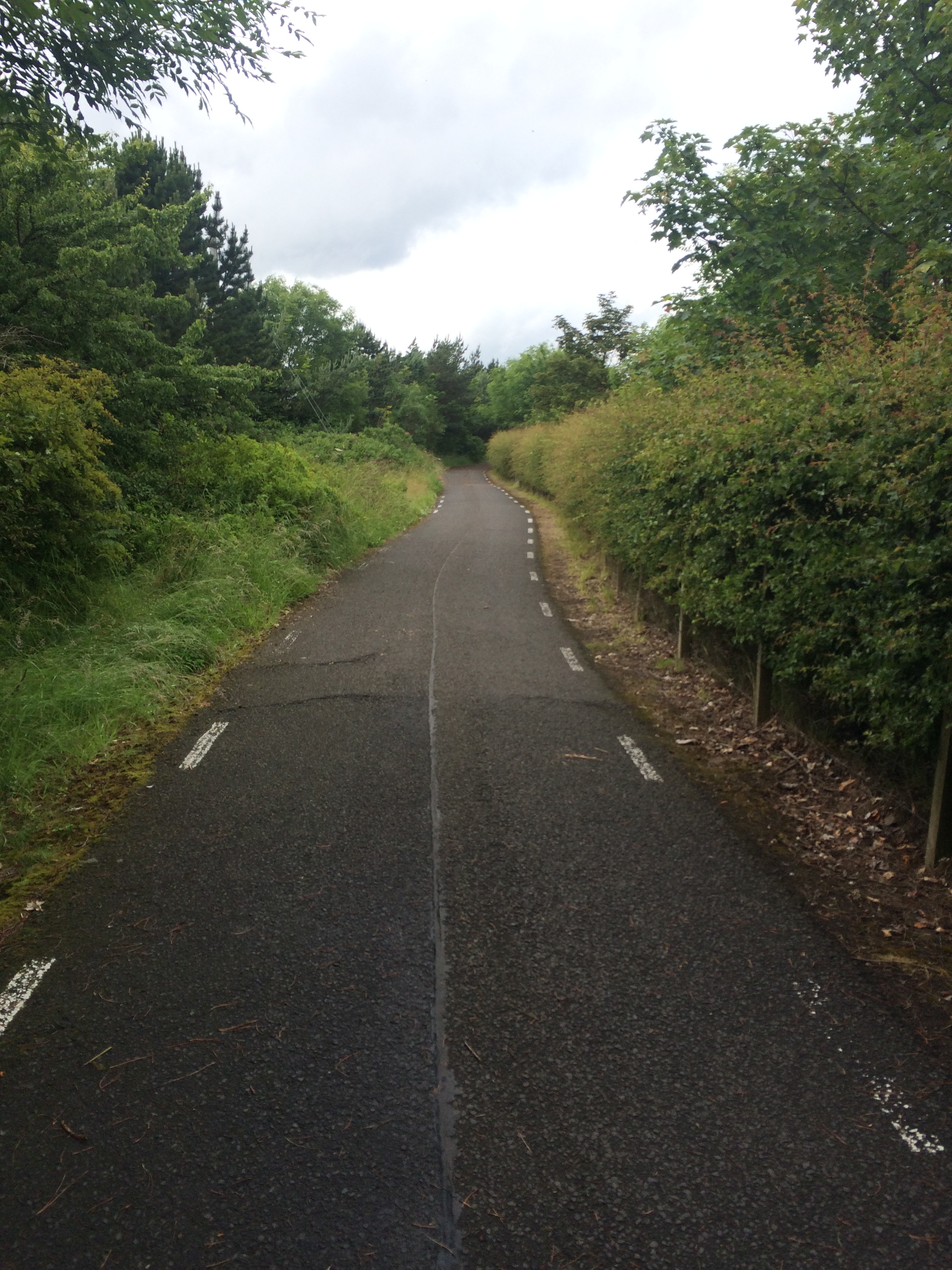
After stopping for some lunch we returned to the path to head for Gaurdbridge and then Leuchars. The path at this point is simply a cycle path (watch out for those bikes!) that runs alongside the main road the A91 so there’s not much to see,
so I was really glad of Lisa’s company along the way.
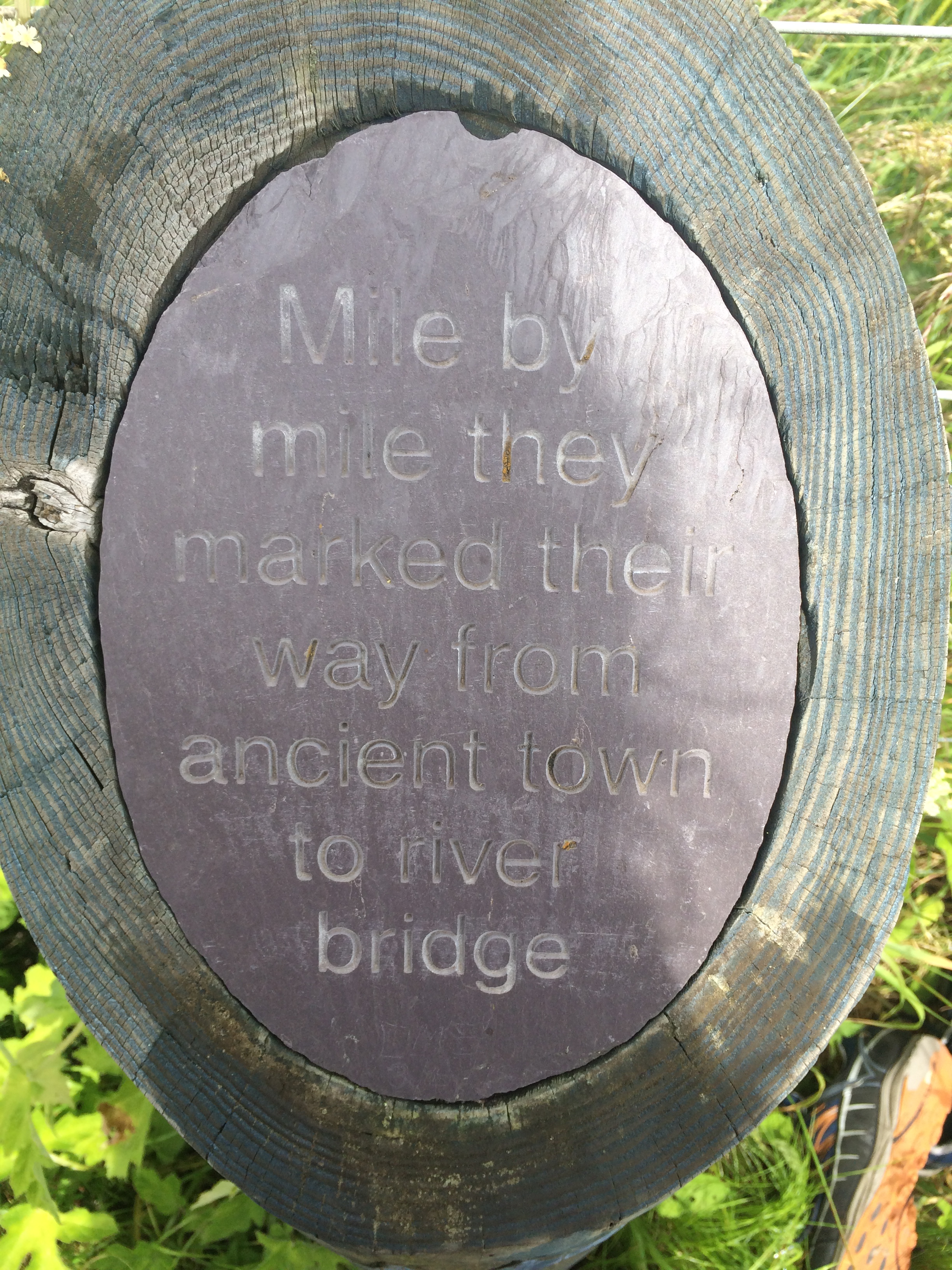
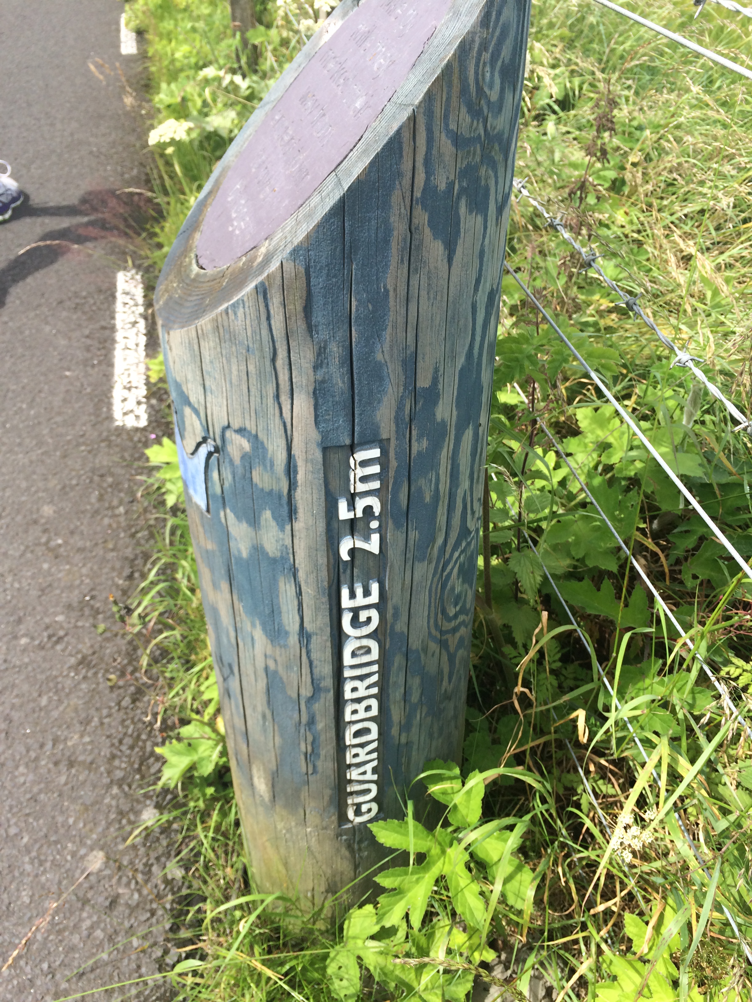
I thought this was a nice sign to Guardbridge,
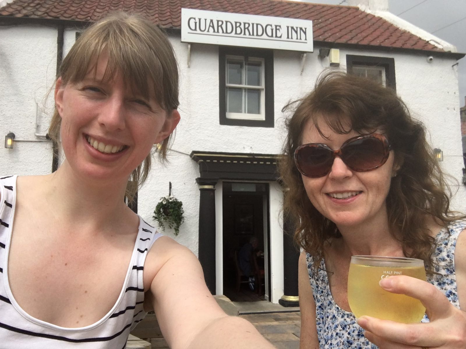
where we stopped for some refreshments:-)
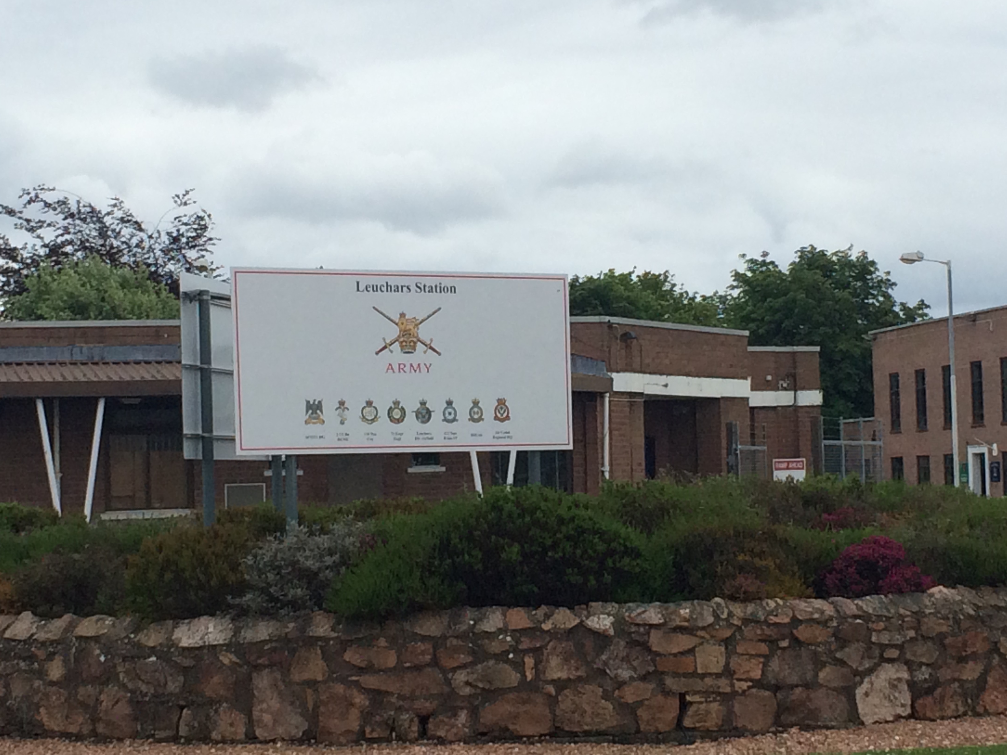
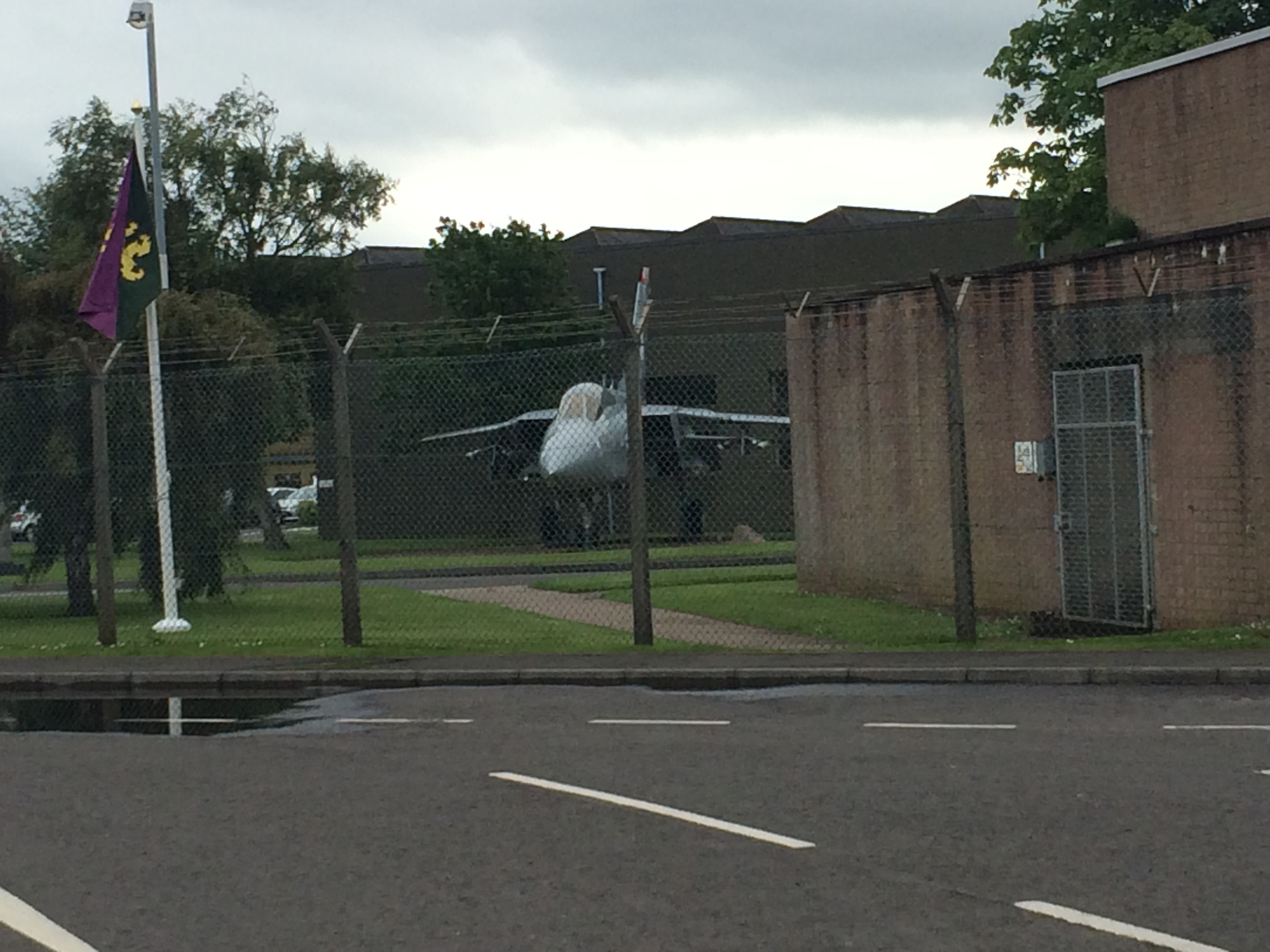
It’s only a mile and a half to Leuchars from Guardbridge so it didn’t take us long at all. Leuchars is, of course, famous for its RAF base.
When you get there you have to be vigilant in watching for the Fife Coastal Path signs (a bit small in comparison to other signs!).
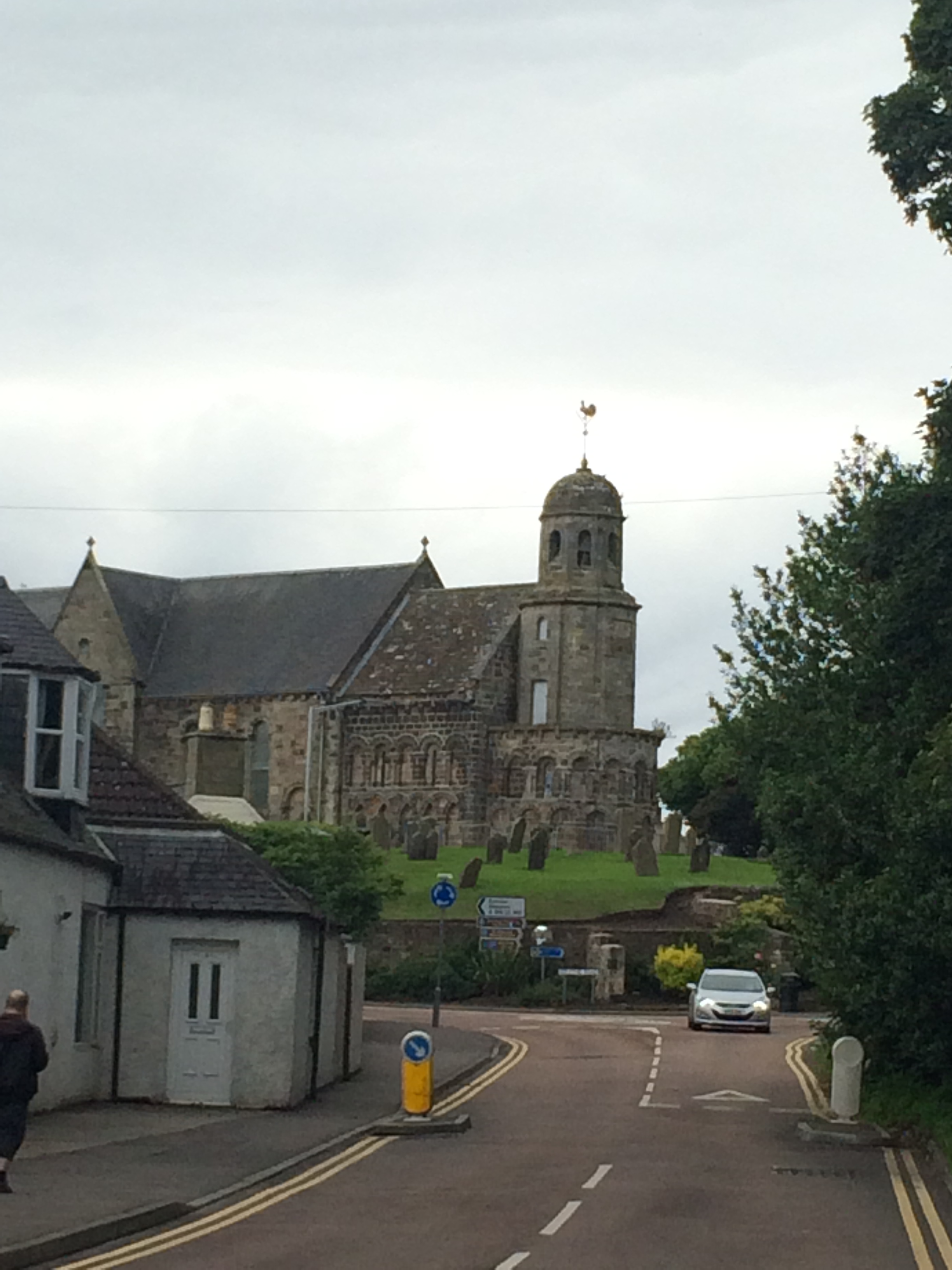
There are a few meanderings in and out of streets to get you to the correct place for your walk through Tentsmuir Forrest but when you see St. Athernase Church ahead, you have to turn right into Wessex Avenue then right again onto Earlshall Road. From there you are on the path to Tentsmuir Forrest.
It was a lovely day walking from Boarhills to Leuchars mainly because I had company. I had also decided to make today a shorter day as I had walked a lot of miles each day previously and felt I was not giving myself enough time just to enjoy each place . At 11 miles it was just about perfect – allowing time to sit and enjoy the location and explore some of the sites. It’s not a race after all!
I hope you are enjoying reading my blog – thanks for reading!
